Login

Zapomniałeś swój login?

Cookies have to be accepted!
Your browser's cookie functionality is disabled. Please enable this functionality.

Not a member yet?

Register now
Login

Available for registred users only

Log in to use this feature.

Zapomniałeś swój login?

Cookies have to be accepted!
Your browser's cookie functionality is disabled. Please enable this functionality.

Not a member yet?

Register now
Filter
Kategorie
Advanced filters
  • Długość (km)
  • Wysokość
Zapisz filtr Reset filter

TrackRank

QRCode

Technical data

Długość9,1 km Wysokość854 m Way down6 m Czas trwania03:00 h:m Data29.07.2013
Oceny Author User Krajobraz Czynnik zadowolenia Kondycja Technika

Statystyka

964 Widoki 1 Ocena 56 Downloads / Pliki do pobrania 3.00 Przeciętnie
Rate
  • Karta trasy
  • Dojazd
  • Downloads / Pliki do pobrania
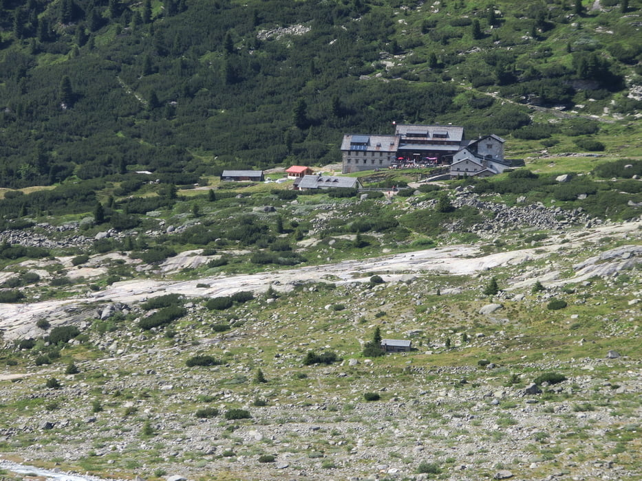
Vom Gasthaus Breitlahner steigt man über eine Forststraße stetig vorbei an der Grawand Hütte entlang herrlichen Almen. Ab der Alpenrose geht es über einen sehr schönen Weg aber steiler noch ca. 45 Minuten zur Berliner Hütte. Sehr schöne Landschaft die den schweißtreibenden Anstieg entschädigt.

Galeria trasy

Mapa trasy i profil wysokości

  • Open Street Map
  • Google
Minimum height 1184 m Maximum height 2035 m Widok szczegółowy

More about the tour author

Chef_Wolfgang
Member since 2012

Send private message

Komentarze

Im Zillertal durch Mayrhofen nach Ginzling und dort Richtung Schlegeisspeicher. Vor der Mautstraße geht es dann links ab zum Gasthaus Breitlahner wo ein großer kostenpflichtiger Parkplatz ist.

GPS tracks

Trackpoints
  • GPX / Garmin Map Source (gpx) download
  • TCX / Garmin Training Center® (tcx) download
  • CRS / Garmin Training Center® (crs) download
  • Google Earth (kml) download
  • G7ToWin (g7t) download
  • TTQV (trk) download
  • Overlay (ovl) download
  • Fugawi (txt) download
  • Kompass (DAV) Track (tk) download
  • Karta trasy (pdf) download
  • Original file of the author (gpx) download

More about the tour author

Chef_Wolfgang
Member since 2012

Send private message
Share track
Add to my favorites
Remove from my favorites
Edit tags
My score
Rate
Trasa: Ghs. Breitlahner, Zustieg Berliner Hütte
Rodzaj: Wędrówki
Długość: 9,1 km
Evaluated on:
Czas trwania:
Day(s)
Hour(s)
Minute(s)
Ocena: Krajobraz Czynnik zadowolenia Kondycja Technika