Login

Zapomniałeś swój login?

Cookies have to be accepted!
Your browser's cookie functionality is disabled. Please enable this functionality.

Not a member yet?

Register now
Login

Available for registred users only

Log in to use this feature.

Zapomniałeś swój login?

Cookies have to be accepted!
Your browser's cookie functionality is disabled. Please enable this functionality.

Not a member yet?

Register now
Filter
Kategorie
Advanced filters
  • Długość (km)
  • Wysokość
Zapisz filtr Reset filter

TrackRank

QRCode

Technical data

Długość43,5 km Wysokość1227 m Way down1215 m Czas trwania03:00 h:m Data29.07.2013
Oceny Author Krajobraz Czynnik zadowolenia Kondycja Technika

Statystyka

577 Widoki Oceny 78 Downloads / Pliki do pobrania Przeciętnie
Rate
  • Karta trasy
  • Dojazd
  • Downloads / Pliki do pobrania
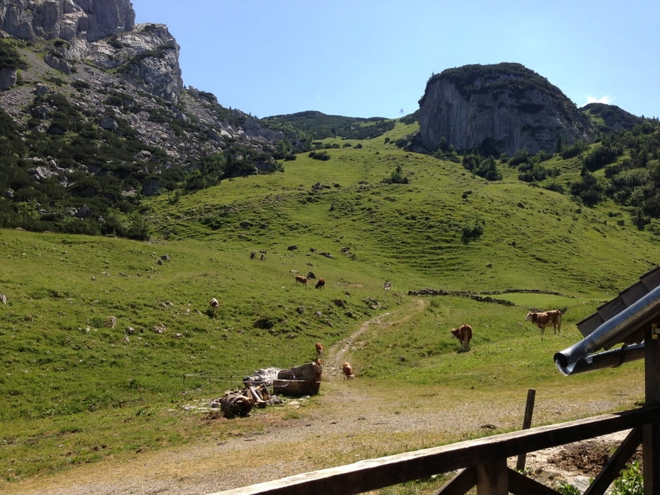
Rampe rauf zum Soinsee, an heißen Tagen hier ein Bad nehmen, danach 30 Min. Tragepassage zum Rothwandhaus, von dort nur noch Abfahrt nach Schliersee

Mapa trasy i profil wysokości

  • Open Street Map
  • Google
Minimum height 754 m Maximum height 1736 m Widok szczegółowy

More about the tour author

timmsprenger
Member since 2012

Send private message

Komentarze

GPS tracks

Trackpoints
  • GPX / Garmin Map Source (gpx) download
  • TCX / Garmin Training Center® (tcx) download
  • CRS / Garmin Training Center® (crs) download
  • Google Earth (kml) download
  • G7ToWin (g7t) download
  • TTQV (trk) download
  • Overlay (ovl) download
  • Fugawi (txt) download
  • Kompass (DAV) Track (tk) download
  • Karta trasy (pdf) download
  • Original file of the author (gpx) download

More about the tour author

timmsprenger
Member since 2012

Send private message
Share track
Add to my favorites
Remove from my favorites
Edit tags
My score
Rate
Trasa: Soinsee-Rothwand
Rodzaj: Rower górski (MTB)
Długość: 43,5 km
Evaluated on:
Czas trwania:
Day(s)
Hour(s)
Minute(s)
Ocena: Krajobraz Czynnik zadowolenia Kondycja Technika