


Wir sind nach Landeck gekommen um ein Bergritzel für mein Bike zu kaufen. Mein altes mit 28 Zähnen ist ein wenig zu klein für das Paznauntal.
Nachdem wir bei
PETO BIKE ZAMS
Buntweg 1
6511 Zams
Tel. 0043/5442/63550
Fax 0043/5442/63550-1
petobike@gmx.at
www.petobike.com
ein neues Ritzelpaket besorgt hatten, bummelten wir vom Parkplatz am Inn in die "Innenstadt".
Nach einer Weile mussten wir nochmal zurück weil ich etwas verloren hatte das aber im Auto rumlag.
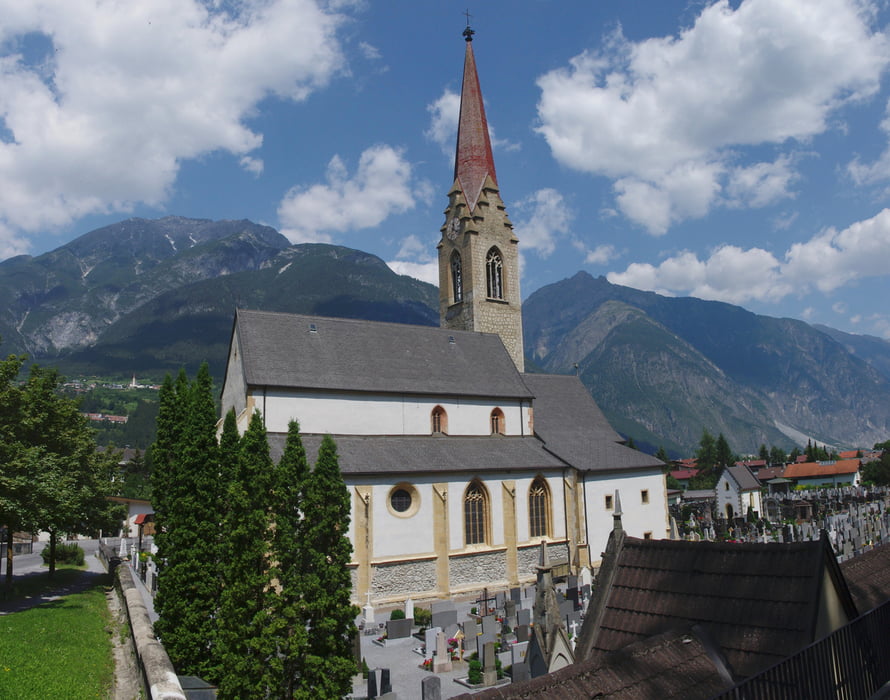
Nach dem zweiten Start wanderten wir zur Kirche und zur Burg hoch. Auf dem Rückweg gab es Eis und noch etwas Radklamotten.
Landeck ist nett klein und war an diesem Tag sehr heiß.
Further information at
http://www.landeck.tirol.gv.at/system/web/default.aspxGaleria trasy
Mapa trasy i profil wysokości
Minimum height 796 m
Maximum height 855 m
More about the tour author
|
|
Pheinz |
Komentarze

Auf dem Parkplatz in der Malserstraße am Inn geht es los.
GPS tracks
Trackpoints-
GPX / Garmin Map Source (gpx) download
-
TCX / Garmin Training Center® (tcx) download
-
CRS / Garmin Training Center® (crs) download
-
Google Earth (kml) download
-
G7ToWin (g7t) download
-
TTQV (trk) download
-
Overlay (ovl) download
-
Fugawi (txt) download
-
Kompass (DAV) Track (tk) download
-
Karta trasy (pdf) download
-
Original file of the author (gpx) download
More about the tour author
|
|
Pheinz |
Add to my favorites
Remove from my favorites
Edit tags
Open track
My score
Rate