


- Rundkurs im Uhrzeigersinn, idealer Zeitpunkt: Hochsommer(schneefrei).
- 35 KM - auf dem Vinschgauer Radweg nach Naturns, in`s Schnalstal(Tunnel/Radbeleuchtung), Pfossental bis Gasthof Jägerrast(geteert). Am Ende einige etwas steile Abschnitte.
- 7 KM - Forststrasse, einige kurze Rampen.
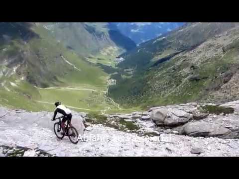
- 5 KM - Militärsteig, schieben, angenehme Steigung, 20 HM tragen.
- 9 KM- 1.000 HM Abfahrt ins Passeiertal auf altem Militärweg, sehr viele Schiebepassagen.
- 40 KM Abfahrt durch das Passeiertal (Radweg) zurück zum Ausgangspunkt.
- Start/Ziel: Meran/Marling, Marlingerbrücke, grosser öffentlicher Parkplatz beim Piccolo-Hotel.
NB. Den Abstecher nach Katharinaberg/Schnalstal würde ich nicht nachfahren. Ersparnis 200 HM.
Galeria trasy


Mapa trasy i profil wysokości
Minimum height 238 m
Maximum height 2891 m
More about the tour author
|
|
MargesinFriedrich |
Komentarze
GPS tracks
Trackpoints-
GPX / Garmin Map Source (gpx) download
-
TCX / Garmin Training Center® (tcx) download
-
CRS / Garmin Training Center® (crs) download
-
Google Earth (kml) download
-
G7ToWin (g7t) download
-
TTQV (trk) download
-
Overlay (ovl) download
-
Fugawi (txt) download
-
Kompass (DAV) Track (tk) download
-
Karta trasy (pdf) download
-
Original file of the author (gpx) download
More about the tour author
|
|
MargesinFriedrich |
Add to my favorites
Remove from my favorites
Edit tags
Open track
My score
Rate
Mega Tour