

Vom Parkplatz Taubensuhl geht es auf gut ausgebauten Frostwirtschaftswegen und schönen Waldpfaden im Grobsbachtals kontinuierlich bergab. Dabei streift man das Gasthaus Stilles Tal, welches an einer kleinen Bachbiegung liegt. Bei der Waldschänke Hornesselwiese ist der tiefste Punkt der Wanderung erreich, die Strecke biegt anschließend ins Helmbachtal ein und geht weiter bis zum Helmbachsee. Von dort führt der Weg bergauf Richtung Geiskopf und Sommerscheid zurück zum Forsthaus Taubensuhl.
Galeria trasy


Mapa trasy i profil wysokości
Minimum height 253 m
Maximum height 526 m
More about the tour author

|
isg13 |
Komentarze

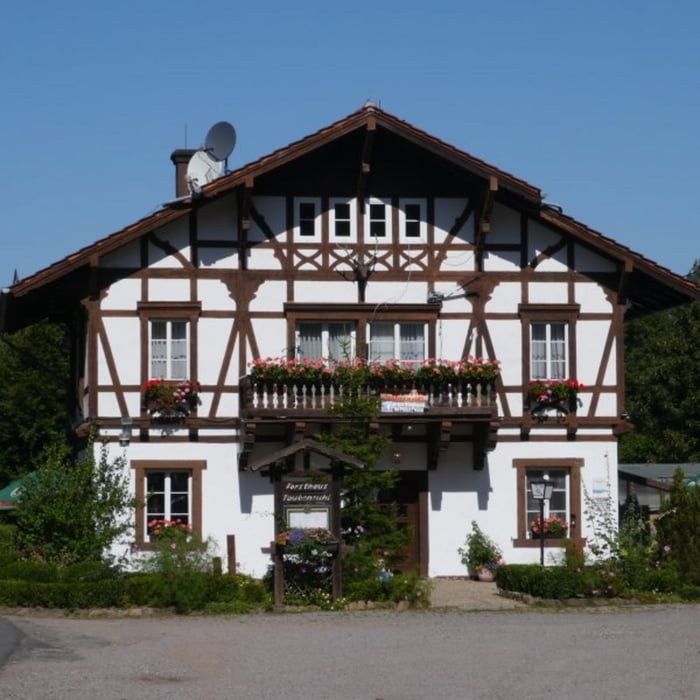
Startpunkt der Tour ist der Parkplatz beim Forsthaus Taubensuhl
GPS tracks
Trackpoints-
GPX / Garmin Map Source (gpx) download
-
TCX / Garmin Training Center® (tcx) download
-
CRS / Garmin Training Center® (crs) download
-
Google Earth (kml) download
-
G7ToWin (g7t) download
-
TTQV (trk) download
-
Overlay (ovl) download
-
Fugawi (txt) download
-
Kompass (DAV) Track (tk) download
-
Karta trasy (pdf) download
-
Original file of the author (gpx) download
More about the tour author
|
|
isg13 |
Add to my favorites
Remove from my favorites
Edit tags
Open track
My score
Rate