Login

Zapomniałeś swój login?

Cookies have to be accepted!
Your browser's cookie functionality is disabled. Please enable this functionality.

Not a member yet?

Register now
Login

Available for registred users only

Log in to use this feature.

Zapomniałeś swój login?

Cookies have to be accepted!
Your browser's cookie functionality is disabled. Please enable this functionality.

Not a member yet?

Register now
Filter
Kategorie
Advanced filters
  • Długość (km)
  • Wysokość
Zapisz filtr Reset filter

TrackRank

QRCode

Technical data

Długość21,0 km Wysokość743 m Way down741 m Czas trwania00:00 h:m Data18.08.2013
Oceny Author Krajobraz Czynnik zadowolenia Kondycja Technika

Statystyka

719 Widoki Oceny 112 Downloads / Pliki do pobrania Przeciętnie
Rate
  • Karta trasy
  • Dojazd
  • Downloads / Pliki do pobrania

Schöne Biketour  "über dem Bodensee".

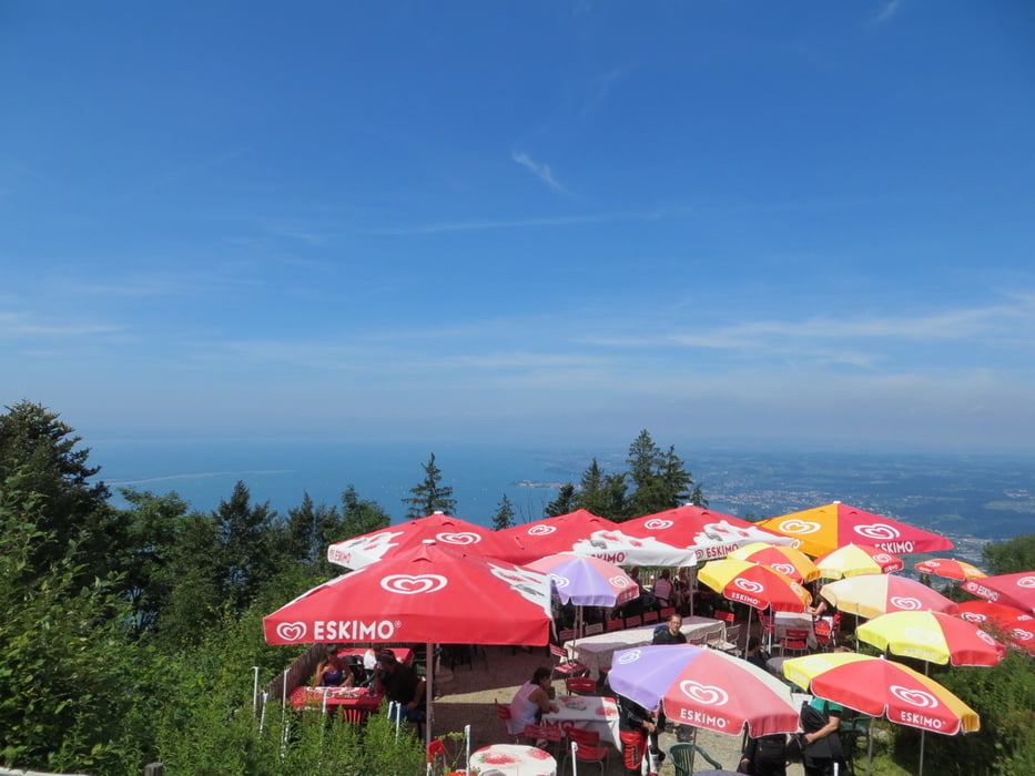
Man hat immer wieder eine herrliche Aussicht über den Bodensee.

Die Tour sollte unbedingt so gefahren werden, wie ich sie eingestellt habe (also als 8).

Denn die steile Auffahrt zum Pfänderdarf nur in diese Richtung gefahren werden.


Viel Spass beim Biken!


Further information at

http://www.pfaender.at/

Galeria trasy

Mapa trasy i profil wysokości

  • Open Street Map
  • Google
Minimum height 726 m Maximum height 1071 m Widok szczegółowy

More about the tour author

Tom19
Member since 2008

Send private message

Komentarze

siehe Daten


GPS tracks

Trackpoints
  • GPX / Garmin Map Source (gpx) download
  • TCX / Garmin Training Center® (tcx) download
  • CRS / Garmin Training Center® (crs) download
  • Google Earth (kml) download
  • G7ToWin (g7t) download
  • TTQV (trk) download
  • Overlay (ovl) download
  • Fugawi (txt) download
  • Kompass (DAV) Track (tk) download
  • Karta trasy (pdf) download
  • Original file of the author (gpx) download

More about the tour author

Tom19
Member since 2008

Send private message
Share track
Add to my favorites
Remove from my favorites
Edit tags
My score
Rate
Trasa: Pfänder und Hochberg
Rodzaj: Rower górski (MTB)
Długość: 21,0 km
Evaluated on:
Czas trwania:
Day(s)
Hour(s)
Minute(s)
Ocena: Krajobraz Czynnik zadowolenia Kondycja Technika