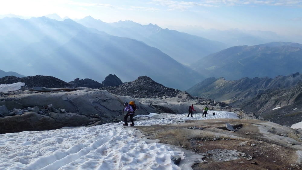
Von der Schwarzensteinhütte auf markiertem Weg bis zum Gletscher und einfach über diesem zum felsigem Aufbau des Schwarzenstein. Über leichte Blockkletterei zum Gipfel. Der Abstieg nochmals über leichte Blockkletterei querend zum Schwarzensteinkees und über diesen unschwierig hinab. Weiter über markierten Weg zur Berliner Hütte, zum Gasthaus Alpenrose und über den Fahrweg hinunter zum Gasthaus Breitlahner (Parkplatz).
Galeria trasy
Mapa trasy i profil wysokości
Minimum height 1256 m
Maximum height 3322 m
Komentarze

GPS tracks
Trackpoints-
GPX / Garmin Map Source (gpx) download
-
TCX / Garmin Training Center® (tcx) download
-
CRS / Garmin Training Center® (crs) download
-
Google Earth (kml) download
-
G7ToWin (g7t) download
-
TTQV (trk) download
-
Overlay (ovl) download
-
Fugawi (txt) download
-
Kompass (DAV) Track (tk) download
-
Karta trasy (pdf) download
-
Original file of the author (gpx) download
Add to my favorites
Remove from my favorites
Edit tags
Open track
My score
Rate


