


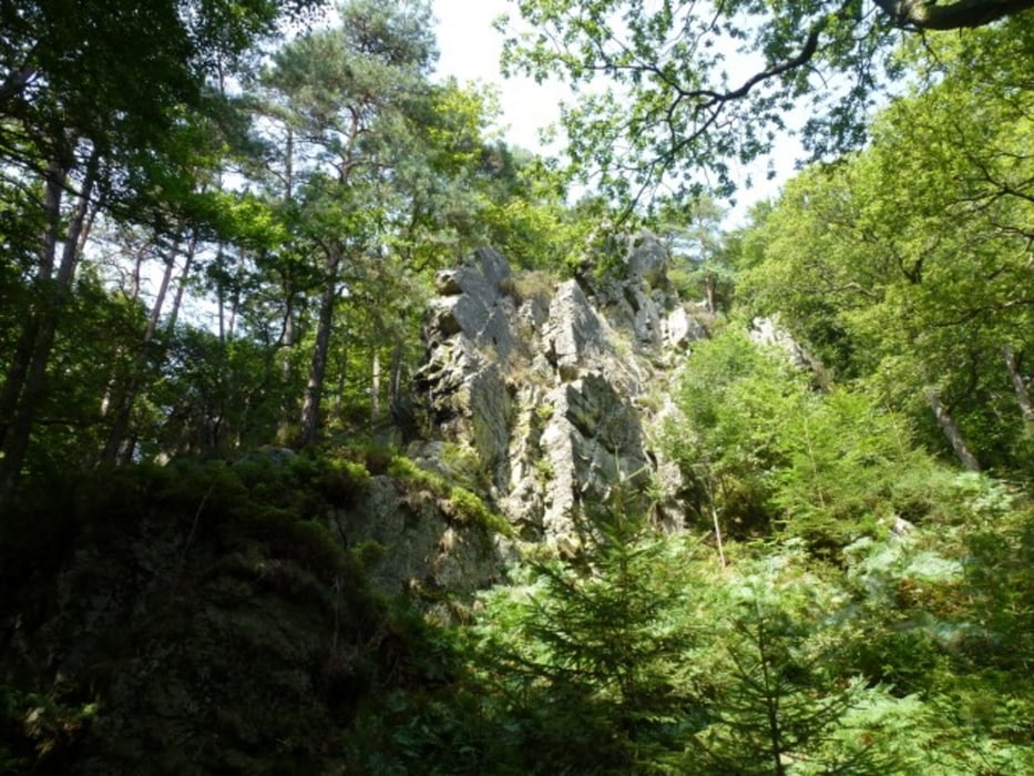
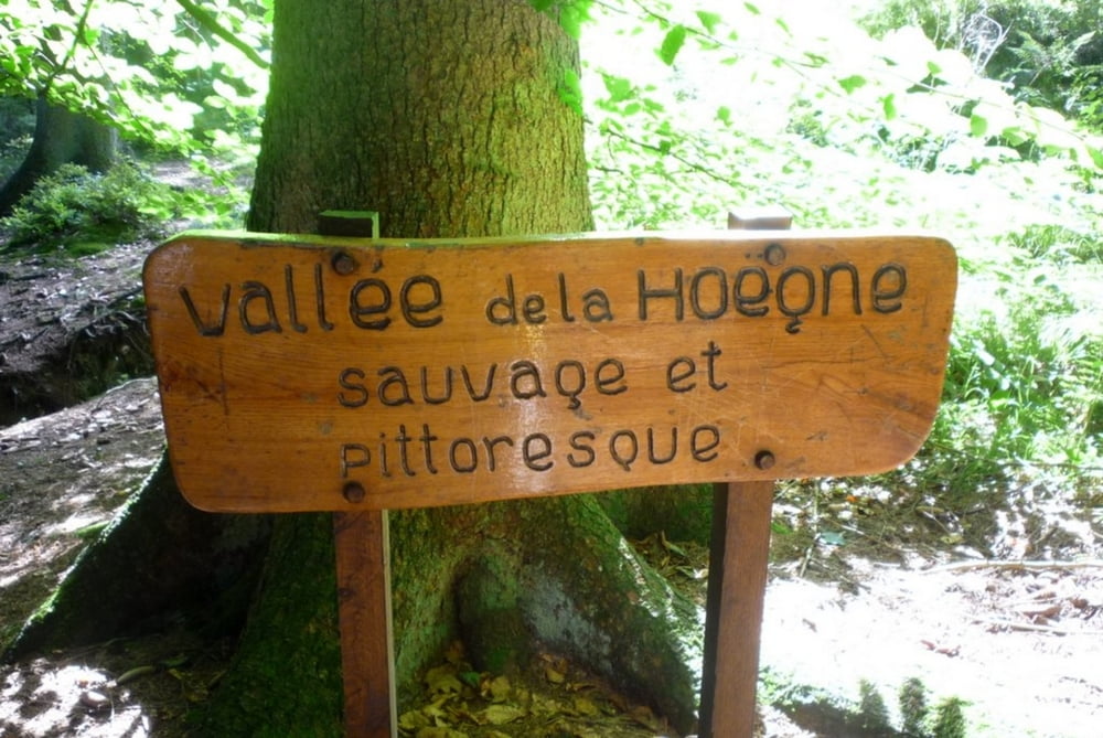
Zeer mooie rondwandeling in de Hoge Venen langs het stroomgebied van de Hoegne. Zorg voor gode wandeluitrusting, zeker bij regenachtig weer. Paadjes kunnen erg glad zijn. Neem ook proviand mee, want onderweg is er weinig horecagelegenheid.
U start bij Hotel-restaurant "Beau Site", gelegen in Hockai - Francorchamps, klein dorpje dat zich bevindt aan de rand van het Natuurreservaat van de Hoge Venen, op 5 km van het circuit van Spa-Francorchamps, op 12 km van de Thermen van Spa, op 10 km van Malmedy en op 13 km van Stavelot (abdij en karting).
Adres: Hôtel-restaurant Beau site
Rue Abbé Dossogne 27
4970 Hockai - Francorchamps
Tél. : 0032 (0) 87 27 52 04
E-mail : hotel.beausite@freebel.net
www.hotelbeausite.be
Pauzemogelijkheid: Chalet Du Pont de Belleheid
Roquez 49
4845, Sart-Lez-Spa, Luik, BEL
08 747 44 80
Galeria trasy
Mapa trasy i profil wysokości
Minimum height 360 m
Maximum height 627 m
More about the tour author
|
|
boskwa12 |
Komentarze

GPS tracks
Trackpoints-
GPX / Garmin Map Source (gpx) download
-
TCX / Garmin Training Center® (tcx) download
-
CRS / Garmin Training Center® (crs) download
-
Google Earth (kml) download
-
G7ToWin (g7t) download
-
TTQV (trk) download
-
Overlay (ovl) download
-
Fugawi (txt) download
-
Kompass (DAV) Track (tk) download
-
Karta trasy (pdf) download
-
Original file of the author (gpx) download
More about the tour author
|
|
boskwa12 |
Add to my favorites
Remove from my favorites
Edit tags
Open track
My score
Rate