


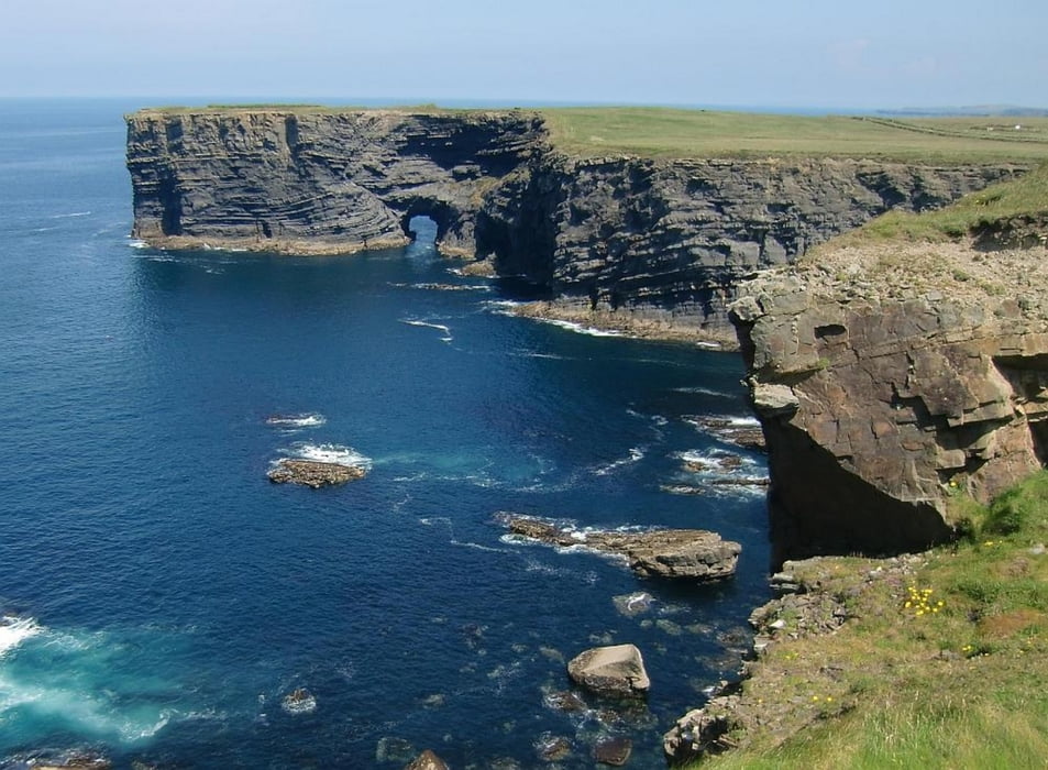
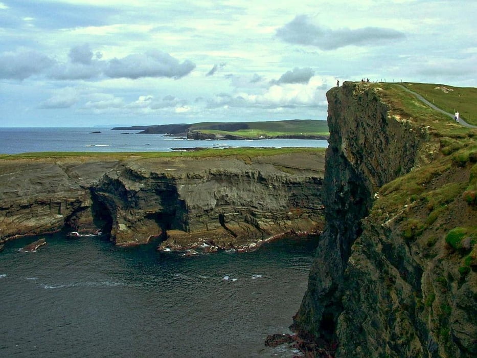
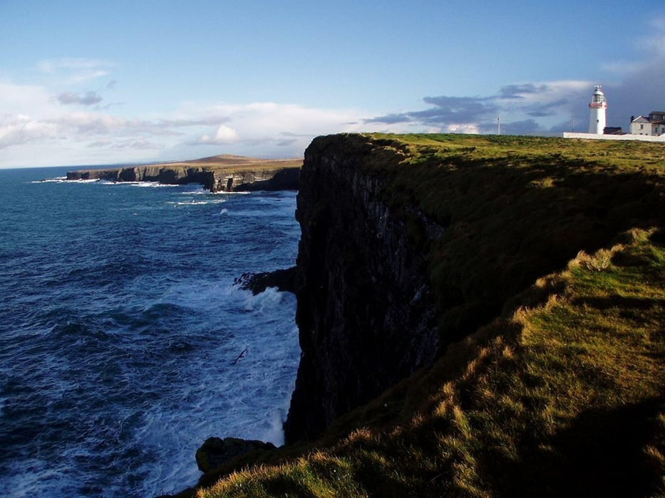
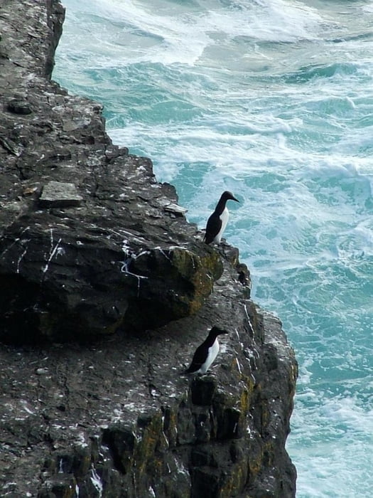
Loop Head wurde nicht zu Unrecht sowohl von der Europ. Kommission wie auch von Lesern der IRISH TIMES zum lohnenswertesten Ziel in Irland erkoren - da noch weitgehend naturbelassen und unberührt. Die Küstenlandschaft ist teilweise atemberaubend, schöner als die Cliffs of Moher allemal. Mit etwas Glück sieht man Delfine, Wale und Seeotter - auf jeden Fall aber Seevögel aller Art. Die Strecke führt von/nach Kilkee. Dort können auch Räder gemietet werden (Whelans Hardware Store, nicht weit von der Kirche). Bei Regen und/oder starkem Wind ist diese Strecke nur für Hartgesottene, ansonsten ein schöner Tagesausflug auf befestigten kleinen Wegen und Strässchen.
Further information at
http://www.doonbeg-ireland.com/kilkee.htmGaleria trasy
Mapa trasy i profil wysokości
Minimum height -11 m
Maximum height 110 m
More about the tour author

|
tigin |
Komentarze

Ab Ennis auf der N68/67 nach Kilkee. Wer von Kerry kommt nimmt in Tarbert die Fähre über den Shannon, von dort sind es noch etwa 25 Min. bis Kilkee.
GPS tracks
Trackpoints-
GPX / Garmin Map Source (gpx) download
-
TCX / Garmin Training Center® (tcx) download
-
CRS / Garmin Training Center® (crs) download
-
Google Earth (kml) download
-
G7ToWin (g7t) download
-
TTQV (trk) download
-
Overlay (ovl) download
-
Fugawi (txt) download
-
Kompass (DAV) Track (tk) download
-
Karta trasy (pdf) download
-
Original file of the author (gpx) download
More about the tour author
|
|
tigin |
Add to my favorites
Remove from my favorites
Edit tags
Open track
My score
Rate