Login

Zapomniałeś swój login?

Cookies have to be accepted!
Your browser's cookie functionality is disabled. Please enable this functionality.

Not a member yet?

Register now
Login

Available for registred users only

Log in to use this feature.

Zapomniałeś swój login?

Cookies have to be accepted!
Your browser's cookie functionality is disabled. Please enable this functionality.

Not a member yet?

Register now
Filter
Kategorie
Advanced filters
  • Długość (km)
  • Wysokość
Zapisz filtr Reset filter

TrackRank

QRCode

Technical data

Długość152,1 km Wysokość6798 m Way down6793 m Czas trwania4 days 0 h Data24.08.2013
Oceny Author Krajobraz Czynnik zadowolenia Kondycja Technika

Statystyka

997 Widoki 2 Oceny 155 Downloads / Pliki do pobrania 2.50 Przeciętnie
Rate
  • Karta trasy
  • Dojazd
  • Downloads / Pliki do pobrania

4 Tagestour 5800Hm Bergauf / 7250 Hm Bergab

1.Tag    St. Vigil - Arabba  ( Lift St Kassian)

2. Tag    Arabba - Alleghe ( Lift Alleghe)

3. Tag    Alleghe - Cortina d´Ampezzo

4. Tag    Cortina d´Ampezzo - st. Vigil
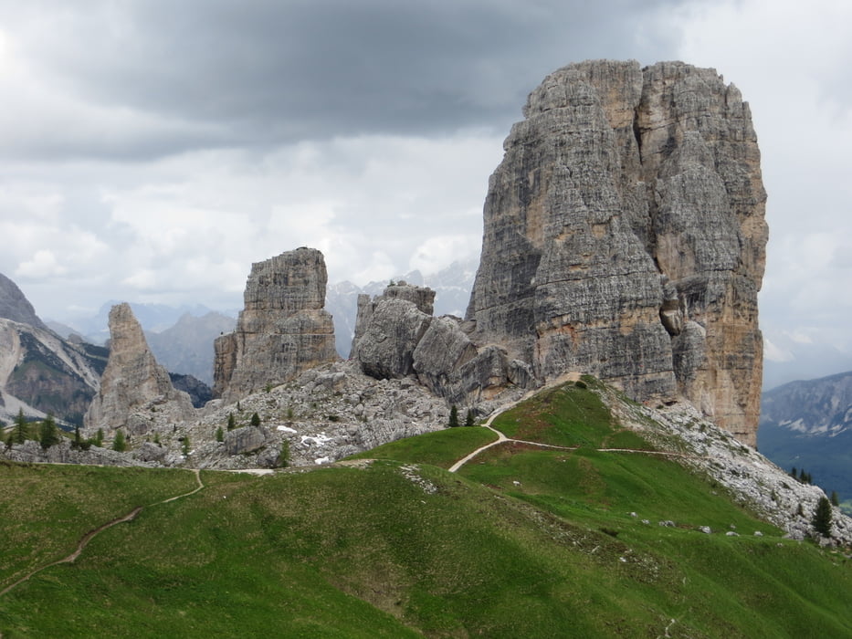
 

Galeria trasy

Mapa trasy i profil wysokości

  • Open Street Map
  • Google
Minimum height 967 m Maximum height 2549 m Widok szczegółowy

More about the tour author

knausz
Member since 2010

Send private message

Komentarze

GPS tracks

Trackpoints
  • GPX / Garmin Map Source (gpx) download
  • TCX / Garmin Training Center® (tcx) download
  • CRS / Garmin Training Center® (crs) download
  • Google Earth (kml) download
  • G7ToWin (g7t) download
  • TTQV (trk) download
  • Overlay (ovl) download
  • Fugawi (txt) download
  • Kompass (DAV) Track (tk) download
  • Karta trasy (pdf) download
  • Original file of the author (gpx) download

More about the tour author

knausz
Member since 2010

Send private message
Share track
Add to my favorites
Remove from my favorites
Edit tags
My score
Rate
Trasa: Dolomitenrunde
Rodzaj: Rower górski (MTB)
Długość: 152,1 km
Evaluated on:
Czas trwania:
Day(s)
Hour(s)
Minute(s)
Ocena: Krajobraz Czynnik zadowolenia Kondycja Technika