Login

Zapomniałeś swój login?

Cookies have to be accepted!
Your browser's cookie functionality is disabled. Please enable this functionality.

Not a member yet?

Register now
Login

Available for registred users only

Log in to use this feature.

Zapomniałeś swój login?

Cookies have to be accepted!
Your browser's cookie functionality is disabled. Please enable this functionality.

Not a member yet?

Register now
Filter
Kategorie
Advanced filters
  • Długość (km)
  • Wysokość
Zapisz filtr Reset filter

TrackRank

QRCode

Technical data

Długość36,5 km Wysokość481 m Way down485 m Czas trwania02:34 h:m Data28.08.2013
Oceny Author Krajobraz Czynnik zadowolenia Kondycja Technika

Statystyka

294 Widoki Oceny 33 Downloads / Pliki do pobrania Przeciętnie
Rate
  • Karta trasy
  • Dojazd
  • Downloads / Pliki do pobrania
Die Tour führt durch das Hinterland von El Veger. Viele schwierige Singletrails, ruppige Downhills, Kies- oder Kakteenlandschaften(!) und heftige Steigungen wie auch Orangenhaine wechseln sich ab. Nichts für Anfänger ohne Guide. Aufgrund den Temperaturen im Juni sind wir um 08:00 morgens bereits gestartet.

Further information at

http://www.ferienoase.com/radsport.htm

Mapa trasy i profil wysokości

  • Open Street Map
  • Google
Minimum height -7 m Maximum height 281 m Widok szczegółowy

More about the tour author

ingo_F29_2
Member since 2013

Send private message

Komentarze

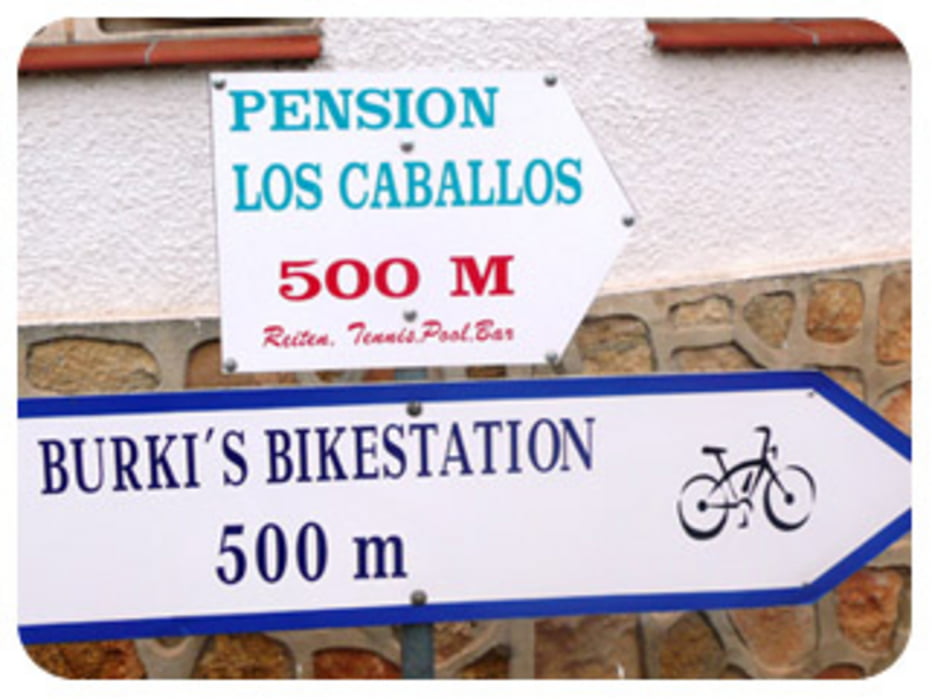
Start war am Hotel Los Caballos in El Veger...kann ich nur empfehlen. Hier könnt hier auch den Guide und Bikes mieten.


GPS tracks

Trackpoints
  • GPX / Garmin Map Source (gpx) download
  • TCX / Garmin Training Center® (tcx) download
  • CRS / Garmin Training Center® (crs) download
  • Google Earth (kml) download
  • G7ToWin (g7t) download
  • TTQV (trk) download
  • Overlay (ovl) download
  • Fugawi (txt) download
  • Kompass (DAV) Track (tk) download
  • Karta trasy (pdf) download
  • Original file of the author (gpx) download

More about the tour author

ingo_F29_2
Member since 2013

Send private message
Share track
Add to my favorites
Remove from my favorites
Edit tags
My score
Rate
Trasa: El Veger Spanien
Rodzaj: Rower górski (MTB)
Długość: 36,5 km
Evaluated on:
Czas trwania:
Day(s)
Hour(s)
Minute(s)
Ocena: Krajobraz Czynnik zadowolenia Kondycja Technika