


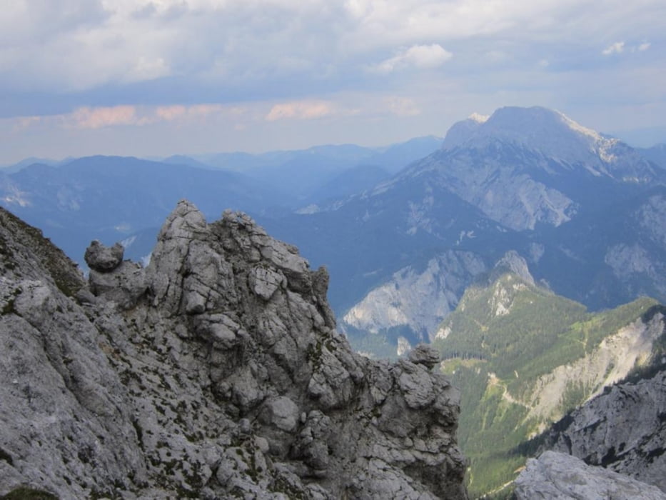
Start Oberst Klinke Hütte - Anstieg (etwa 500 Höhenmeter und je nach Geschwindigkeit 1 bis 1,5 Stunden)) durch Wiese, Latschenfeld, Geröll und danach entlang der Südwand, wo man einige Kletterer beobachten kann bis zur Gruberachgrube (zwischen Riffl und Kalbling), danach weiter bis zum "Hochplateu"
Gipfel 1: Kalbling (2196)
Gipfel 2: Sparafeld (2248)
zurück über
Gipfel 3: Riffl (2106)
Abstieg: stellenweise aufgrund gerölligem felsigen Untergrundes mühsam
Gipfel 1: Kalbling (2196)
Gipfel 2: Sparafeld (2248)
zurück über
Gipfel 3: Riffl (2106)
Abstieg: stellenweise aufgrund gerölligem felsigen Untergrundes mühsam
Galeria trasy


Mapa trasy i profil wysokości
Minimum height 1398 m
Maximum height 2238 m
More about the tour author

|
manolf80 |
Komentarze

über A9 - Abfahrt Trieben, B113 Richtung Admont, Gabelung rechts L713 Richtung Kaiserau. zum Schluss (die letzten 5 km) über Mautstraße (Kostenpunkt 7Euro) zur Oberst-Klinke-Hütte
GPS tracks
Trackpoints-
GPX / Garmin Map Source (gpx) download
-
TCX / Garmin Training Center® (tcx) download
-
CRS / Garmin Training Center® (crs) download
-
Google Earth (kml) download
-
G7ToWin (g7t) download
-
TTQV (trk) download
-
Overlay (ovl) download
-
Fugawi (txt) download
-
Kompass (DAV) Track (tk) download
-
Karta trasy (pdf) download
-
Original file of the author (gpx) download
More about the tour author
|
|
manolf80 |
Add to my favorites
Remove from my favorites
Edit tags
Open track
My score
Rate