


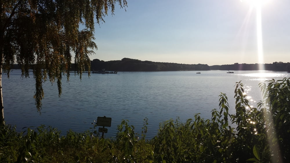
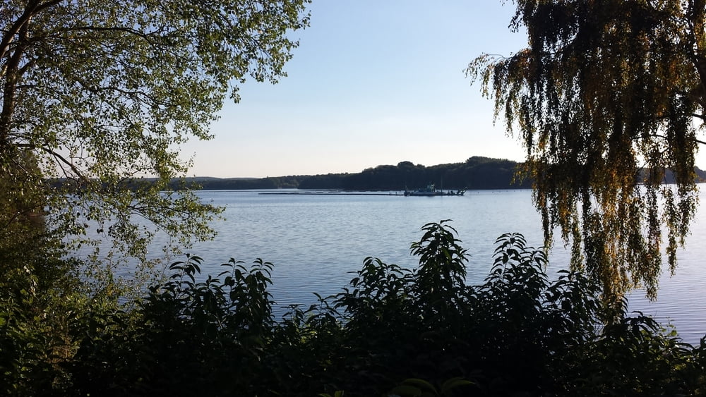
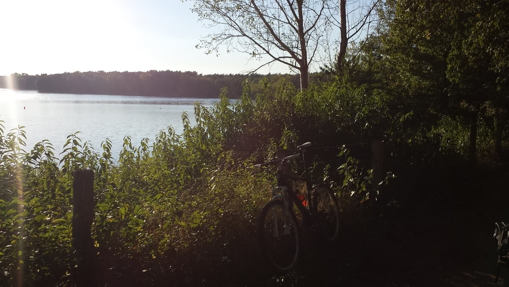
Von Herten Langenbochum geht es durch die Ried zum Flughafen Lohmühle und weiter durch die Burg nach Marl Sinsen. Von da fährt man über meist wenig befahrene Pfade auf und ab durch die Haard nach Haltern. Hier überquert man die Lippe und umrundet wenig später den Halterner Stausee. Zurück geht es dann durch die Westruper Heide nach Flaesheim, wo man wieder die Lippe überquert und durch die Haard nach Recklinghausen zum Schwimmbad Mollbeck gelangt. Den Vestischen Golfplatz passierend kommt man nach Scherlebeck und schließlich zurück nach Langenbochum.
Galeria trasy
Mapa trasy i profil wysokości
Minimum height 39 m
Maximum height 124 m
More about the tour author

|
Komentarze

GPS tracks
Trackpoints-
GPX / Garmin Map Source (gpx) download
-
TCX / Garmin Training Center® (tcx) download
-
CRS / Garmin Training Center® (crs) download
-
Google Earth (kml) download
-
G7ToWin (g7t) download
-
TTQV (trk) download
-
Overlay (ovl) download
-
Fugawi (txt) download
-
Kompass (DAV) Track (tk) download
-
Karta trasy (pdf) download
-
Original file of the author (tcx) download
More about the tour author
|
|
Add to my favorites
Remove from my favorites
Edit tags
Open track
My score
Rate