


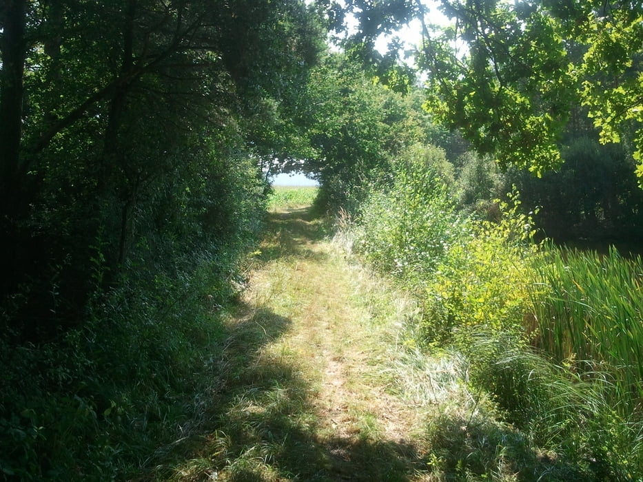
Da ich schon mehrere Touren anderer User gefahren bin, bin ich hier eine Tour gefahren, die meiner Meinung die schönsten Stellen zusammenfasst.
Meine Prämissen waren: so wenig wie möglich Straße, einige Singletrails inkl leichte Abfahrten (für jeden zu meistern), 1-2 kräftige, aber kurze Anstiege, Beginn der Tour direkt ab Fürth Nord
Fahrtzeit waren 2:30h - kann mir aber gut vorstellen, dass die Tour auch in 2h gefahren werden kann.
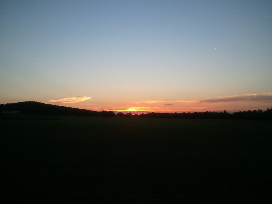
Galeria trasy
Mapa trasy i profil wysokości
Minimum height 241 m
Maximum height 335 m
More about the tour author

|
t0bs7ar |
Komentarze

Es kann überall in die Tour eingestiegen werden; optimiert ist die Tour für den Einstieg in Fürth oder Obermichelbach
GPS tracks
Trackpoints-
GPX / Garmin Map Source (gpx) download
-
TCX / Garmin Training Center® (tcx) download
-
CRS / Garmin Training Center® (crs) download
-
Google Earth (kml) download
-
G7ToWin (g7t) download
-
TTQV (trk) download
-
Overlay (ovl) download
-
Fugawi (txt) download
-
Kompass (DAV) Track (tk) download
-
Karta trasy (pdf) download
-
Original file of the author (gpx) download
More about the tour author
|
|
t0bs7ar |
Add to my favorites
Remove from my favorites
Edit tags
Open track
My score
Rate