


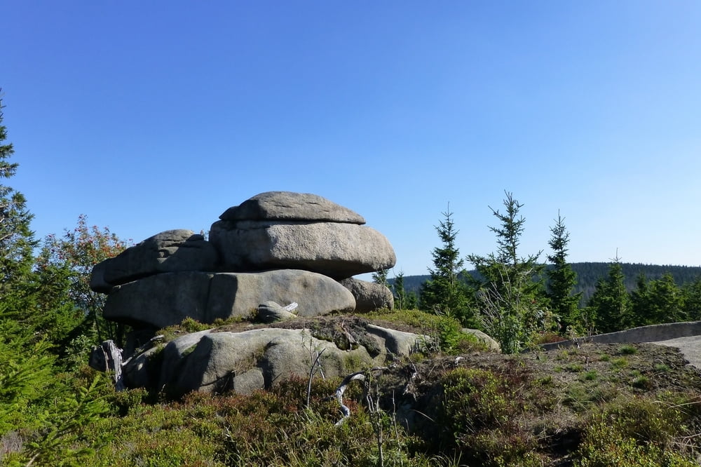
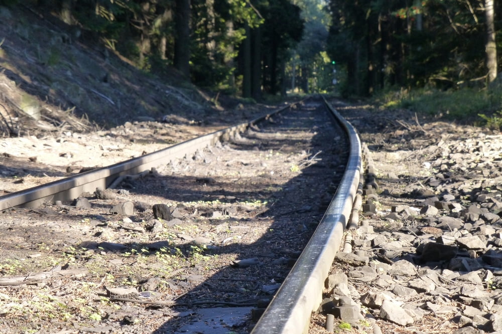
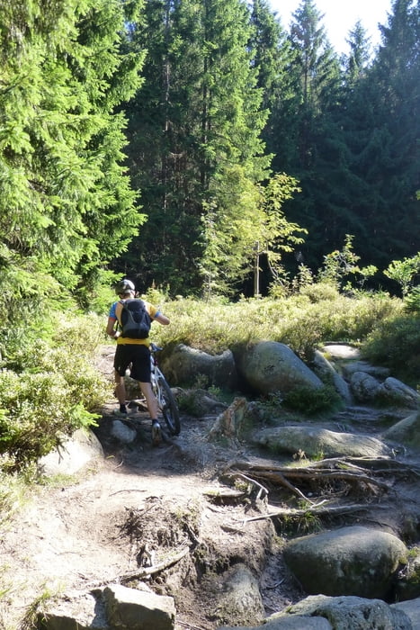
Von Torfhaus geht es zum Dreieckigen Pfahl und dann den Trail an der Ecker runter (Eckersprung).Über die Ecker rüber (Brücke) und dann am Skidenkmal runter Richtung Pionierweg, diesen ein Stück berauf zur Eckerquerung. Von dort geht es zu den Zeterklippen hinauf und dann weiter Richtung Wolfsklippen. Von dort den Alexanderstieg hinunter. Über Forstautobahnen Richtung Schierke und dort den Pfarrstieg hinunter. Hinter der Jugendherberge rechts hoch immer an der Kalte Bode entlang. Über einen Teil des Kaiserweges gehts zurück zum Torfhaus.
Galeria trasy
Mapa trasy i profil wysokości
Minimum height 578 m
Maximum height 925 m
More about the tour author
|
|
spockibaba |
Komentarze

Start Ziel ist der der Parkplatz an der L 504 knapp unterhalb von Torfhaus (kostenfrei).
GPS tracks
Trackpoints-
GPX / Garmin Map Source (gpx) download
-
TCX / Garmin Training Center® (tcx) download
-
CRS / Garmin Training Center® (crs) download
-
Google Earth (kml) download
-
G7ToWin (g7t) download
-
TTQV (trk) download
-
Overlay (ovl) download
-
Fugawi (txt) download
-
Kompass (DAV) Track (tk) download
-
Karta trasy (pdf) download
-
Original file of the author (tcx) download
More about the tour author
|
|
spockibaba |
Add to my favorites
Remove from my favorites
Edit tags
Open track
My score
Rate