


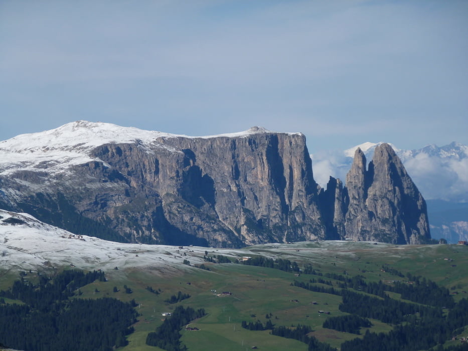
Panoramatour im ersten Schnee
Start der Tour am kostenlosen Parkplatz am Sessellift Ciampinoi.Dort zur Gondelbahn Ciampinoi fahren und mit der Gondel hoch.Von der Bergstation in Richtung Rifugio Comici vorbei unterhalb der Langkofelgruppe bis zum Sellapass.Dann wieder zurück und am Abzweig Rifugio Comici in Richtung Monte Pana und zurück zum Ausgangspunkt der Tour.
Further information at
http://www.sellarondatour.com/Galeria trasy

Mapa trasy i profil wysokości
Minimum height 1548 m
Maximum height 2245 m
More about the tour author
|
|
ambaibiker |
Komentarze

GPS tracks
Trackpoints-
GPX / Garmin Map Source (gpx) download
-
TCX / Garmin Training Center® (tcx) download
-
CRS / Garmin Training Center® (crs) download
-
Google Earth (kml) download
-
G7ToWin (g7t) download
-
TTQV (trk) download
-
Overlay (ovl) download
-
Fugawi (txt) download
-
Kompass (DAV) Track (tk) download
-
Karta trasy (pdf) download
-
Original file of the author (gpx) download
More about the tour author
|
|
ambaibiker |
Add to my favorites
Remove from my favorites
Edit tags
Open track
My score
Rate