
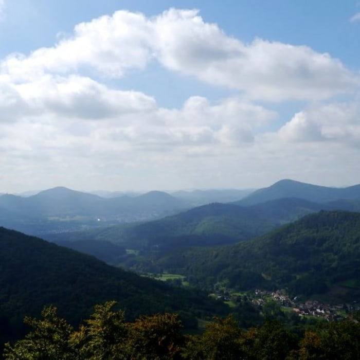

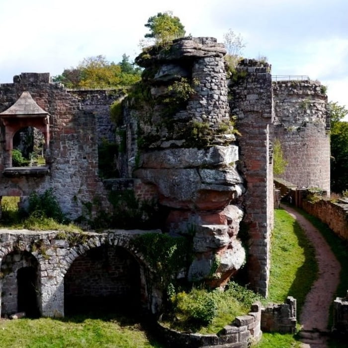
Auf gut ausgebauten Forstwirtschaftswegen führt die Strecke vom Parkplatz der Weinstube „Zur Traube“ im Hainbachtal hoch zur Landauer Hütte - bis auf einen kleinen, steileren Anstieg unterhalb der Hütte steigt der Weg moderat an. Wer nach einer kleinen Stärkung in der Landauer Hütte nicht sofort zum Orensfelsen weiter gehen möchte, der sollte noch einen kleinen Abstecher zur Burgruine Neuscharfeneck einlegen. Von dort ist bei klarem Wetter ein sehr schöner Blick in die Rheinebene und dem Pfälzer Wald möglich. Zwischen Landauer Hütte und dem Orensfelsen geht es auf einem sehr schönen Pfad quer durch den Wald – auch vom Orensfelsen ist ein sehr schöner Ausblick möglich. Zurück zur Weinstube führt die Stecke stetig bergab, vorbei an der Kirschbaum- und Ringelsberghütte.
Galeria trasy


Mapa trasy i profil wysokości
Minimum height 276 m
Maximum height 586 m
More about the tour author

|
isg13 |
Komentarze

GPS tracks
Trackpoints-
GPX / Garmin Map Source (gpx) download
-
TCX / Garmin Training Center® (tcx) download
-
CRS / Garmin Training Center® (crs) download
-
Google Earth (kml) download
-
G7ToWin (g7t) download
-
TTQV (trk) download
-
Overlay (ovl) download
-
Fugawi (txt) download
-
Kompass (DAV) Track (tk) download
-
Karta trasy (pdf) download
-
Original file of the author (gpx) download
More about the tour author
|
|
isg13 |
Add to my favorites
Remove from my favorites
Edit tags
Open track
My score
Rate