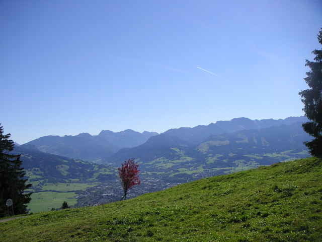
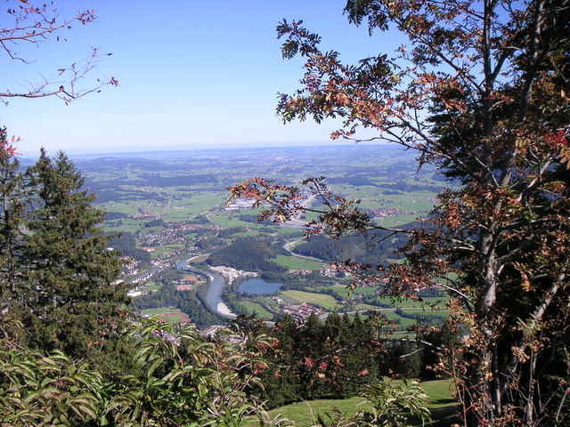
Vom Parklplatz rechts vorbei an der Mittag-Talstation. Nach ein paar hundert Metern links ab in den Wald den Berg hoch. Danach über die Almwiese zu geteerten Forstweg. Diesen bis zur Gipfelstation folgen. Dort gibt es einen herrlichen Blick und einen Gipfelbiergarten. Es gibt genügend Einkehrmöglichkeiten unterwegs.
Galeria trasy
Mapa trasy i profil wysokości
Minimum height 761 m
Maximum height 1416 m
Komentarze

Von Kempten Richtung Immenstadt. Dort der Beschilderung zur Mittag-Bergbahn folgen.
GPS tracks
Trackpoints-
GPX / Garmin Map Source (gpx) download
-
TCX / Garmin Training Center® (tcx) download
-
CRS / Garmin Training Center® (crs) download
-
Google Earth (kml) download
-
G7ToWin (g7t) download
-
TTQV (trk) download
-
Overlay (ovl) download
-
Fugawi (txt) download
-
Kompass (DAV) Track (tk) download
-
Karta trasy (pdf) download
-
Original file of the author (gpx) download
Add to my favorites
Remove from my favorites
Edit tags
Open track
My score
Rate


