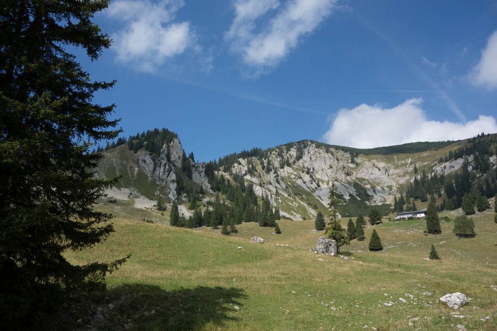
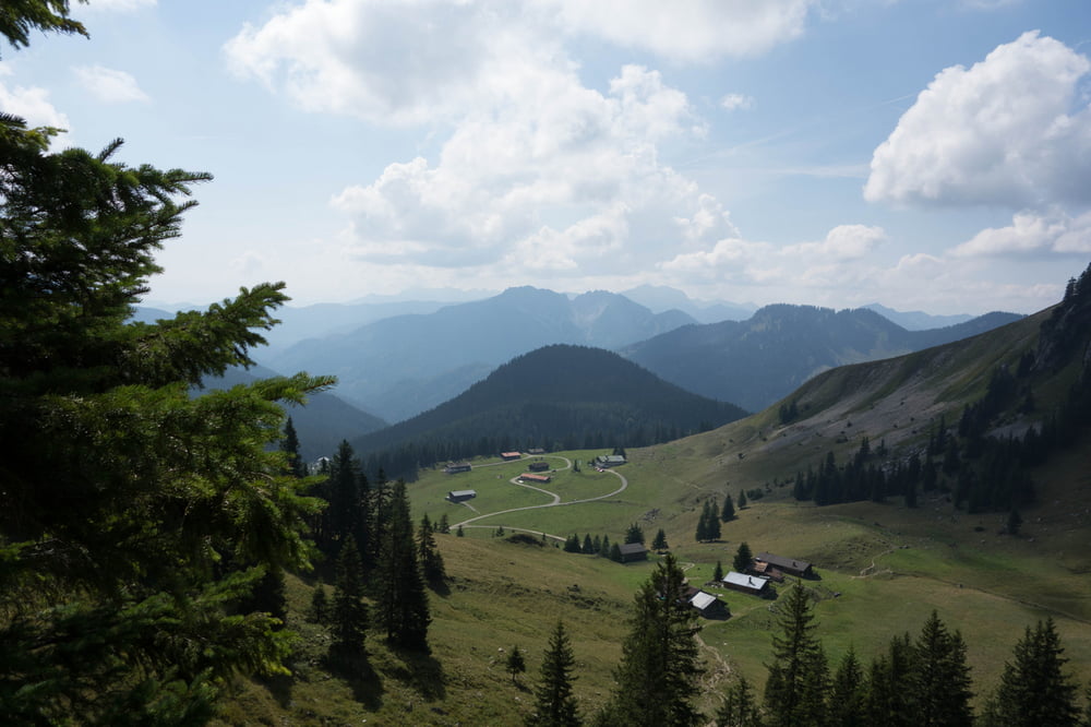
Einfache Rund-Wanderung vom Parkplatz der Taubenstein-Bahn am Spitzingsee vorbei auf die Aiplspitz und über den Jägerkamp zurück zum Spitzingsee. Wem die Aiplspitz zu spitz ist, kann sie auslassen und gleich über den Jägerkamp zurück zum Spitzingsee. Die Wanderung verkürzt sich in diesem Fall um 45 Minuten bis 1 Stunde.
Galeria trasy
Mapa trasy i profil wysokości
Minimum height 1082 m
Maximum height 1801 m
Komentarze

A8 München -Salzburg, Ausfahrt Weyarn.
Über Miesbach zum Spitzingsattel und weiter zum Spitzingsee.
GPS tracks
Trackpoints-
GPX / Garmin Map Source (gpx) download
-
TCX / Garmin Training Center® (tcx) download
-
CRS / Garmin Training Center® (crs) download
-
Google Earth (kml) download
-
G7ToWin (g7t) download
-
TTQV (trk) download
-
Overlay (ovl) download
-
Fugawi (txt) download
-
Kompass (DAV) Track (tk) download
-
Karta trasy (pdf) download
-
Original file of the author (gpx) download
Add to my favorites
Remove from my favorites
Edit tags
Open track
My score
Rate


