
")

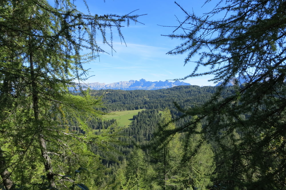
Schöne Ausblicke mit guten Einkehrmöglichkeiten zeichnet diese Tour aus. Eine echte Genießertour.
Wir starten in Petersberg (Monte San Pietro) bei der Kirche und überqueren die Straße. Schieben weitgehend die ersten Höhenmeter das Rad´l auf dem Wanderweg hoch (ca 800 Meter weit). Danach geht es meist auf breitem Forstweg von Alm zu Alm.
Schönrastalm, Neuhütt, Auerleger Alm, Laab Alm, Petersberger Leger Alm. Natürlich muss man nicht in jeder Alm einkehren. Wir pausierten bei der Petersberger Leger Alm. Weiter geht es über Maria Weisenstein nach Petersberg zum Ausgangspunkt.
Wegbeschaffenheit: meist auf breitem Forstweg, Schotter, kurze Trails und Asphalt.
Further information at
http://www.obereggen.com/petersberg/Galeria trasy


Mapa trasy i profil wysokości
Minimum height 1347 m
Maximum height 1881 m
More about the tour author
|
|
W-C |
Komentarze

Anfahrt : Von Bozen nach Blumau, beim Kreisverkehr abbiegen ins Eggental bis nach Deutschnofen durch, rechts Abbiegen nach Petersberg (Monte San Pietro)
Zum gebührenfreien Parkplatz bei der Kirche.
Parkplatz Koordinaten:
N46° 23.807´
E11° 23.541´
GPS tracks
Trackpoints-
GPX / Garmin Map Source (gpx) download
-
TCX / Garmin Training Center® (tcx) download
-
CRS / Garmin Training Center® (crs) download
-
Google Earth (kml) download
-
G7ToWin (g7t) download
-
TTQV (trk) download
-
Overlay (ovl) download
-
Fugawi (txt) download
-
Kompass (DAV) Track (tk) download
-
Karta trasy (pdf) download
-
Original file of the author (gpx) download
More about the tour author
|
|
W-C |
Add to my favorites
Remove from my favorites
Edit tags
Open track
My score
Rate