


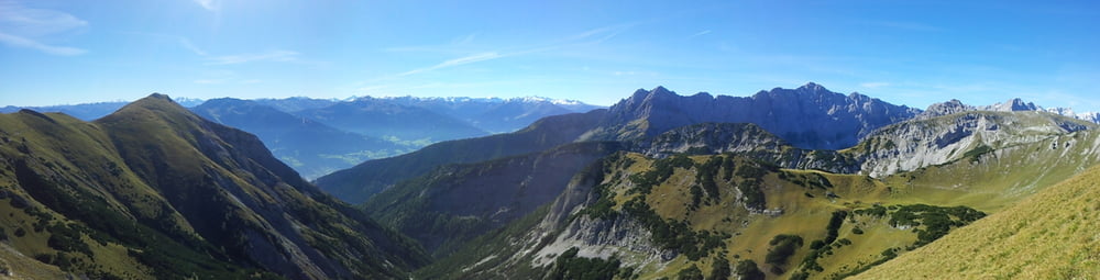
Wunderbare Gipfeltour mit Blick auf den Achensee, das Rofangebirge und den Alpenhauptkamm.
Von der Lamsenjochhütte geht es hinab zur Stallenalm, die Nauderer Stiege hinauf, an der Naudersalm vorbei zum Kaserjoch.
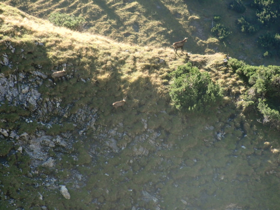
Nun geht es unterhalb der Gamskarspitze zum Ochsenkopf. Achtung:!! Nicht zur Ochsenkaralm absteigen - oben bleiben - hier hatten wir uns verlaufen und mit einem üblen Aufstieg zum Weg bezahlt.
Am Ochsenkopf wird man mit einem herrlichen Blick nach Nord und Süd belohnt.
Weiter geht der Weg hinunter zum Weißenbachsattel und via Bärenbadalm zur Bergstation der Karwendelbahn.
Wir haben diese Tour als Anschluß an Gernalm - Falkenhütte und Falkenhütte - Lamsenjochhütte gemacht. Das ist eine stimmige 3-Tages Tour.
Galeria trasy

Mapa trasy i profil wysokości
Minimum height 1329 m
Maximum height 2109 m
More about the tour author

|
sagi7 |
Komentarze

GPS tracks
Trackpoints-
GPX / Garmin Map Source (gpx) download
-
TCX / Garmin Training Center® (tcx) download
-
CRS / Garmin Training Center® (crs) download
-
Google Earth (kml) download
-
G7ToWin (g7t) download
-
TTQV (trk) download
-
Overlay (ovl) download
-
Fugawi (txt) download
-
Kompass (DAV) Track (tk) download
-
Karta trasy (pdf) download
-
Original file of the author (gpx) download
More about the tour author
|
|
sagi7 |
Add to my favorites
Remove from my favorites
Edit tags
Open track
My score
Rate