


Die Tour durch den Naturpark ist schnell erzählt.
Belag: Das meiste Asphalt. Ich kann aber nicht anders und muß einfach auch mal schmale Wege auf Sand, Schotter oder Split fahren.
Höhenunterschiede: gering.
Verkehrsbelastung: meist gering. Doof ist es zwischen Thyrow und Trebbin.
Von Berlin über Heinersdorf nach Süden. Vor und nach Großbeeren sind Ausflüge in die Botanik getrackt. Fähren sich aber gut.
Weiter nach Ludwigsfelde und danach auf guten Feldwegen witer nach Süden.
Nach Thyrow endet der Radweg und es ist eigentlich blöd bis Trebbin.
Nach rechts und in Löwendorf nach links über Ahrensdorf und Hennickendorf nach Dobbrikow.
In Rieben könen landwirtschaftliche Produkte am Straßenrand erworben werden. Weiter nach Zauchwitz, Stücken, Fresdorf, Tremsdorf nach Saarmund.
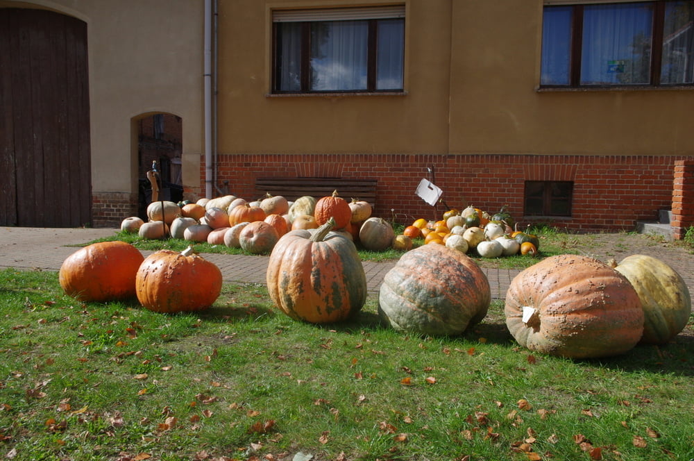
Der Kürbisort überhaupt ist aber Phillipsthal. Hier werden an jeder Ecke Kürbisse in jeder Größe angeboten. Das ist schon sehenswert.
Von Güterfelde nach Teltow fand ich eine nette Variante. Die gefällt mir.
Zum Schluß noch den Teltowkanal entlang zum Ausgangspunkt.
Further information at
http://www.naturpark-nuthe-nieplitz.de/front_content.php?idcat=3&lang=1Galeria trasy


Mapa trasy i profil wysokości
Minimum height 17 m
Maximum height 61 m
More about the tour author
|
|
Pheinz |
Komentarze
Einstieg an beliebiger Stelle
GPS tracks
Trackpoints-
GPX / Garmin Map Source (gpx) download
-
TCX / Garmin Training Center® (tcx) download
-
CRS / Garmin Training Center® (crs) download
-
Google Earth (kml) download
-
G7ToWin (g7t) download
-
TTQV (trk) download
-
Overlay (ovl) download
-
Fugawi (txt) download
-
Kompass (DAV) Track (tk) download
-
Karta trasy (pdf) download
-
Original file of the author (gpx) download
More about the tour author
|
|
Pheinz |
Add to my favorites
Remove from my favorites
Edit tags
Open track
My score
Rate
mtb-tour
Danke! Gruß, Jürgen