
")

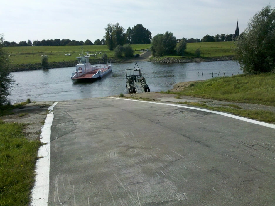
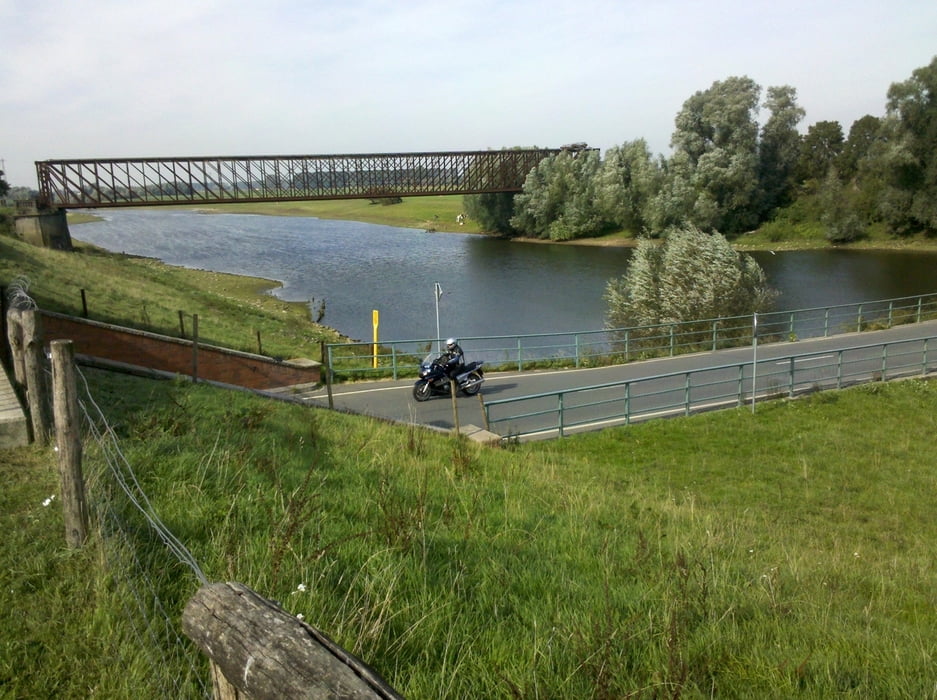
Vom Bahnhof Kleve geht es in einem großen Bogen entlang der B9 (separater Radweg) nach Kranenburg. Von hier über Wyler, Zyfflich, Niel nach Millingen aan de Rijn (NL). Hier soll jetzt meine Rheinroute beginnen, die ich in mehreren Etappen abfahren möchte. In Düffelward nehme ich die Fähre über den Griethauser Altrhein nach Schenkenschanz. Ich durchfahren diese „Insel“ bis Griethausen (alte Eisenbahnbrücke – http://de.wikipedia.org/wiki/Griethausener_Eisenbahnbrücke). Nächste sehenswerte Orte sind Grieth, Kernwasser Wunderland Kalkar und die Promenade in Vynen. Kurz darauf erreiche ich den Xantener Nord- und Südsee. Dann geht es durch die Innenstadt von Xanten zum Bahnhof.
Galeria trasy
Mapa trasy i profil wysokości
Minimum height 10 m
Maximum height 30 m
More about the tour author
|
|
Velo-Oldie |
Komentarze

GPS tracks
Trackpoints-
GPX / Garmin Map Source (gpx) download
-
TCX / Garmin Training Center® (tcx) download
-
CRS / Garmin Training Center® (crs) download
-
Google Earth (kml) download
-
G7ToWin (g7t) download
-
TTQV (trk) download
-
Overlay (ovl) download
-
Fugawi (txt) download
-
Kompass (DAV) Track (tk) download
-
Karta trasy (pdf) download
-
Original file of the author (gpx) download
More about the tour author
|
|
Velo-Oldie |
Add to my favorites
Remove from my favorites
Edit tags
Open track
My score
Rate