
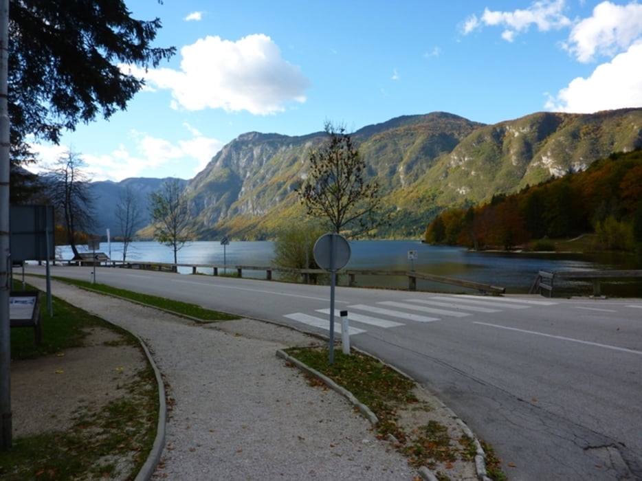

Das Herzstück der Julischen Alpen mit malerischen Aussichtgipfeln liegt zwischen dem Bohinj-See und dem Triglav.
Aufstieg: 2Std.34min.
Abstieg. 2Std.28min.
Further information at
http://www.slovenia.info/?pohodnistvo=325&lng=3Galeria trasy


Mapa trasy i profil wysokości
Minimum height 572 m
Maximum height 1757 m
More about the tour author
|
|
harald07071 |
Komentarze

Entlang der Straße 09 von Bled oder der Straße 909 über die Alm Soriška planina nach Bohinjska Bistrica und danach durch Ribzev Laz nach Stara Fužina. Wir fahren durch das Dorf bis zur Brücke über den Mostnica Fluß; Vor der Brücke biegen wir nach links ab und fahren über eine schmale Straße bis zum Parkplatz am Rand der Weiden über dem Bohinj-See
GPS tracks
Trackpoints-
GPX / Garmin Map Source (gpx) download
-
TCX / Garmin Training Center® (tcx) download
-
CRS / Garmin Training Center® (crs) download
-
Google Earth (kml) download
-
G7ToWin (g7t) download
-
TTQV (trk) download
-
Overlay (ovl) download
-
Fugawi (txt) download
-
Kompass (DAV) Track (tk) download
-
Karta trasy (pdf) download
-
Original file of the author (gpx) download
More about the tour author
|
|
harald07071 |
Add to my favorites
Remove from my favorites
Edit tags
Open track
My score
Rate