


Wenigbefahrene Runde in der südlichen Hörnergruppe.
Von Fischen der Iller und der Breitach folgend nach Kornau.
Ab Westegg Richtung Hörnlepass.
Schiebestrecke zum Hörnlepass (nur bei länger Trockenheit zu empfehlen) oder nach Alpengasthof Hörnlepass rechts um die Krackenköpfe nach Rohrmoos,
Von Rohrmoos ziemlich steile Schiebestrecke zur Toniskopfalpe.
Nach der Dinigörgenalpe anfangs sehr steil Richtung Riedbergpass.
Nach der Grasgehrenalpe nochmals steil zum Bolgen und dann weiter am
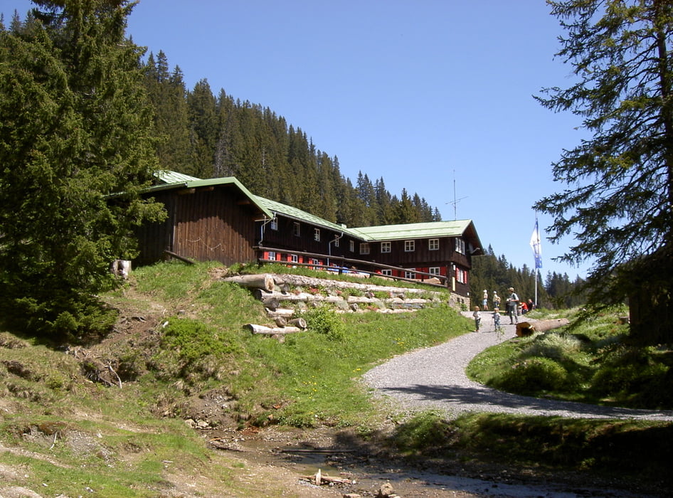
Berghaus Schwaben vorbei Richtung Bolsterlanger Horn.
Am Schluss, sehr steile Abfahrt nach Bolsterlang und wieder zurück zum Ausgangspunkt.
Galeria trasy


Mapa trasy i profil wysokości
Minimum height 703 m
Maximum height 1626 m
More about the tour author
|
|
Staudenbiker |
Komentarze

GPS tracks
Trackpoints-
GPX / Garmin Map Source (gpx) download
-
TCX / Garmin Training Center® (tcx) download
-
CRS / Garmin Training Center® (crs) download
-
Google Earth (kml) download
-
G7ToWin (g7t) download
-
TTQV (trk) download
-
Overlay (ovl) download
-
Fugawi (txt) download
-
Kompass (DAV) Track (tk) download
-
Karta trasy (pdf) download
-
Original file of the author (gpx) download
More about the tour author
|
|
Staudenbiker |
Add to my favorites
Remove from my favorites
Edit tags
Open track
My score
Rate