


- Start/Ziel: Marling/Meran, Marlingerbrücke, öffentlicher Parkplatz neben Piccolo Hotel.
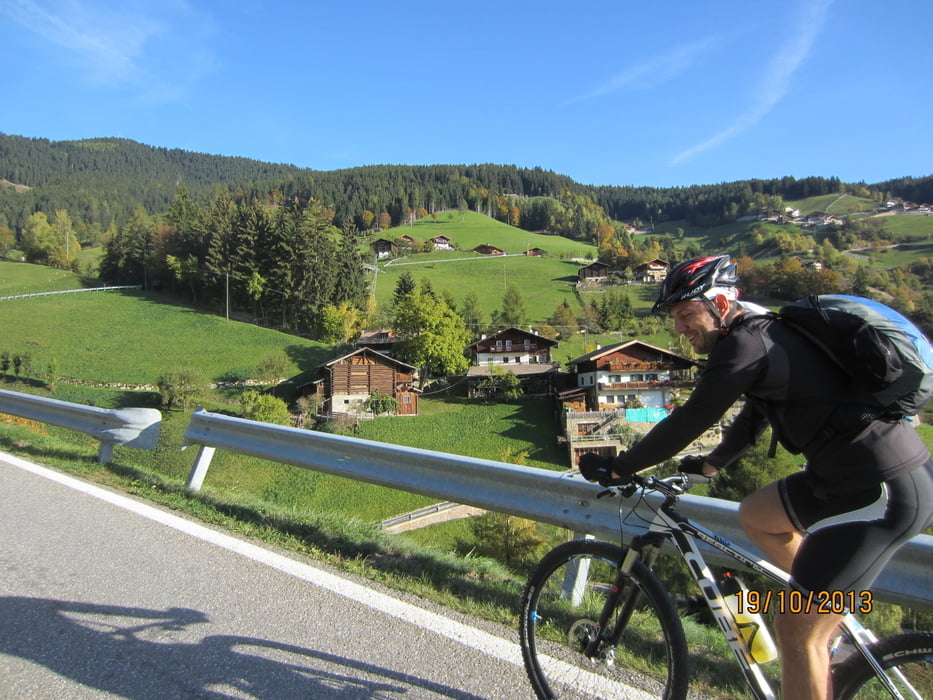
- ca. 5 Km. einrollen auf Nebenstrassen nach Lana.
- ca. 4 Km. auf mässig befahrener Lanstrasse von Lana bis Abzweigung Pawigl.
- Ab der Abzweigung Pawigl bis zum höchsten Punkt (Vigiljocher Kirchl) auf kaum befahrener Teerstrasse, bzw. Forstweg in perfektem Zustad.
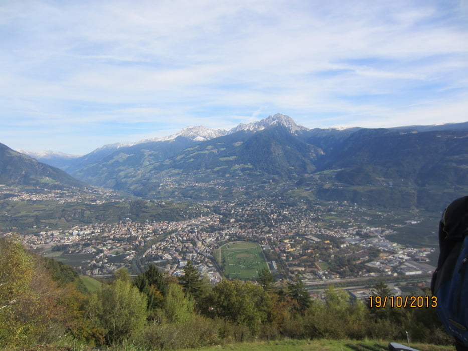
- Beim Gasthof Seespitz (Schwarze Lacke) beginnt die Abfahrt nach Marling, ebenfalls auf gut gewartetem Forstweg, bzw. Teerstrasse ab Gasthof Tschigg.
- Rundkurs im Uhrzeigersinn
Galeria trasy


Mapa trasy i profil wysokości
Minimum height 190 m
Maximum height 1789 m
More about the tour author
|
|
MargesinFriedrich |
Komentarze

GPS tracks
Trackpoints-
GPX / Garmin Map Source (gpx) download
-
TCX / Garmin Training Center® (tcx) download
-
CRS / Garmin Training Center® (crs) download
-
Google Earth (kml) download
-
G7ToWin (g7t) download
-
TTQV (trk) download
-
Overlay (ovl) download
-
Fugawi (txt) download
-
Kompass (DAV) Track (tk) download
-
Karta trasy (pdf) download
-
Original file of the author (gpx) download
More about the tour author
|
|
MargesinFriedrich |
Add to my favorites
Remove from my favorites
Edit tags
Open track
My score
Rate