Login

Zapomniałeś swój login?

Cookies have to be accepted!
Your browser's cookie functionality is disabled. Please enable this functionality.

Not a member yet?

Register now
Login

Available for registred users only

Log in to use this feature.

Zapomniałeś swój login?

Cookies have to be accepted!
Your browser's cookie functionality is disabled. Please enable this functionality.

Not a member yet?

Register now
Filter
Kategorie
Advanced filters
  • Długość (km)
  • Wysokość
Zapisz filtr Reset filter

TrackRank

QRCode

Technical data

Długość34,4 km Wysokość830 m Way down823 m Czas trwania00:00 h:m Data20.10.2013
Oceny Author Krajobraz Czynnik zadowolenia Kondycja Technika

Statystyka

478 Widoki Oceny 120 Downloads / Pliki do pobrania Przeciętnie
Rate
  • Karta trasy
  • Dojazd
  • Downloads / Pliki do pobrania

Ausgangspunkt: Westrand von Innichen

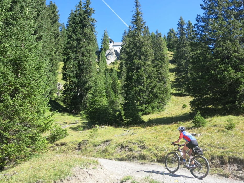
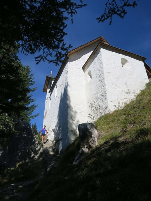
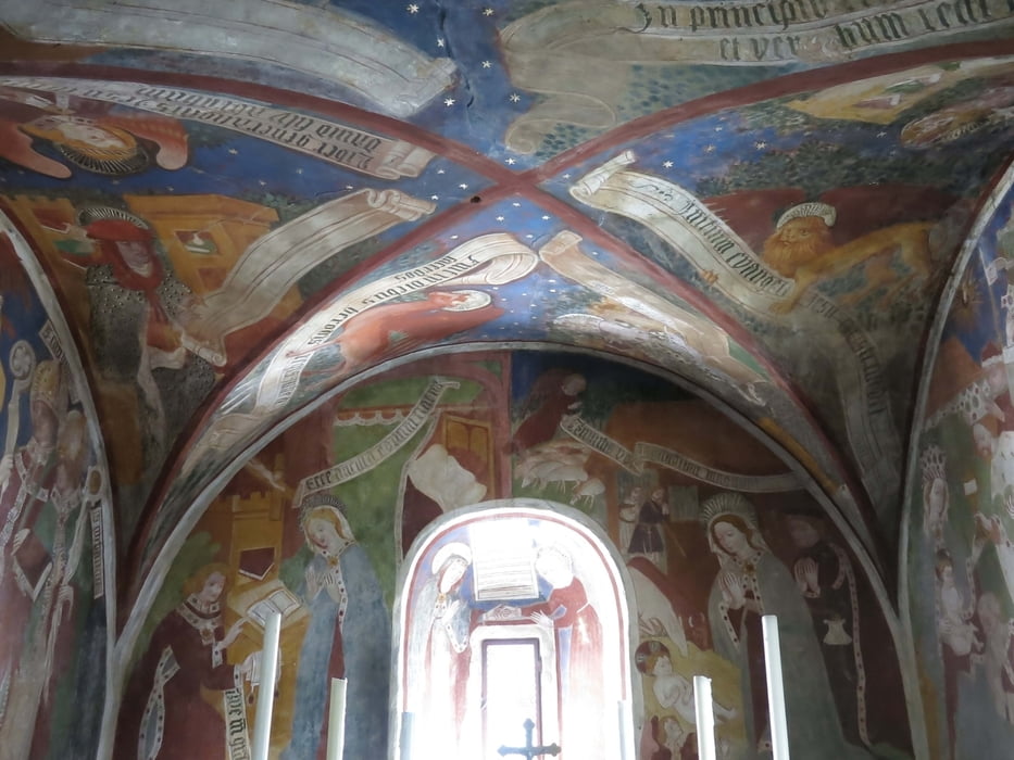
Auf dem Pustertalradweg geht es nach Toblach und von hier auf Berg- und Forststraßen durch das Sylvestertal zur Sylvesteralm und anschließend steil hoch zur wunderschön gelegenen Sylvesterkapelle. In der romanischen Kapelle befinden sich schöne Fresken.

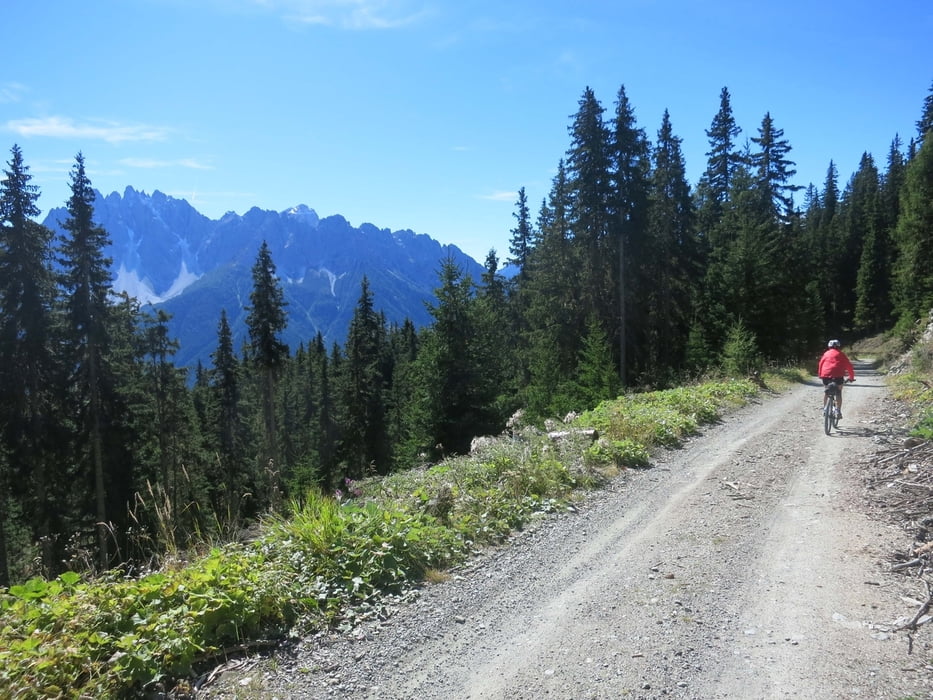
Über die Lachwiesenhütte führt die Abfahrt  auf Forst- und Bergstraßen wieder hinunter nach Toblach.

Galeria trasy

Mapa trasy i profil wysokości

  • Open Street Map
  • Google
Minimum height 1183 m Maximum height 1913 m Widok szczegółowy

More about the tour author

RudolfTill
Member since 2011

Send private message

Komentarze

Im Pustertal nach Innichen bei Toblach fahren.

GPS tracks

Trackpoints
  • GPX / Garmin Map Source (gpx) download
  • TCX / Garmin Training Center® (tcx) download
  • CRS / Garmin Training Center® (crs) download
  • Google Earth (kml) download
  • G7ToWin (g7t) download
  • TTQV (trk) download
  • Overlay (ovl) download
  • Fugawi (txt) download
  • Kompass (DAV) Track (tk) download
  • Karta trasy (pdf) download
  • Original file of the author (gpx) download

More about the tour author

RudolfTill
Member since 2011

Send private message
Share track
Add to my favorites
Remove from my favorites
Edit tags
My score
Rate
Trasa: Sylvesterkapelle
Rodzaj: Rower górski (MTB)
Długość: 34,4 km
Evaluated on:
Czas trwania:
Day(s)
Hour(s)
Minute(s)
Ocena: Krajobraz Czynnik zadowolenia Kondycja Technika