Login

Zapomniałeś swój login?

Cookies have to be accepted!
Your browser's cookie functionality is disabled. Please enable this functionality.

Not a member yet?

Register now
Login

Available for registred users only

Log in to use this feature.

Zapomniałeś swój login?

Cookies have to be accepted!
Your browser's cookie functionality is disabled. Please enable this functionality.

Not a member yet?

Register now
Filter
Kategorie
Advanced filters
  • Długość (km)
  • Wysokość
Zapisz filtr Reset filter

TrackRank

QRCode

Technical data

Długość35,4 km Wysokość1520 m Way down1240 m Czas trwania2 days 0 h Data21.10.2013
Oceny Author Krajobraz Czynnik zadowolenia Kondycja Technika

Statystyka

298 Widoki Oceny 37 Downloads / Pliki do pobrania Przeciętnie
Rate
  • Karta trasy
  • Dojazd
  • Downloads / Pliki do pobrania

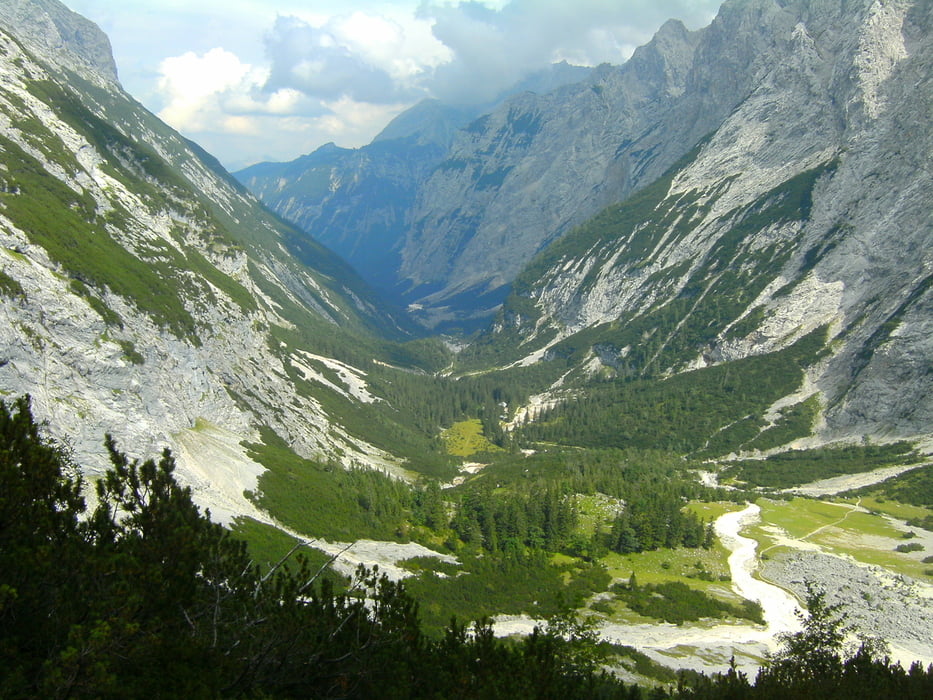
Die einfachste aber längste Route zur Zugspitze. Die Hütten sollte man vorbuchen, 1-2 Übernachtungen sollte man einplanen. Oben ist es kühl, warme Sachen mitnehmen. Rückfahrt mit Bus von Erwald nach Garmisch.

Den Gipfel mussten wir uns wegen Wettersturz (Schnee, Nebel und Graupel) für´s nächste Mal aufheben

Viel Spass!

Galeria trasy

Mapa trasy i profil wysokości

  • Open Street Map
  • Google
Minimum height 731 m Maximum height 2117 m Widok szczegółowy

More about the tour author

berndhuber
Member since 2008

Send private message

Komentarze

Ab Garmisch Parkplatz Olympia Skistadion

GPS tracks

Trackpoints
  • GPX / Garmin Map Source (gpx) download
  • TCX / Garmin Training Center® (tcx) download
  • CRS / Garmin Training Center® (crs) download
  • Google Earth (kml) download
  • G7ToWin (g7t) download
  • TTQV (trk) download
  • Overlay (ovl) download
  • Fugawi (txt) download
  • Kompass (DAV) Track (tk) download
  • Karta trasy (pdf) download
  • Original file of the author (gpx) download

More about the tour author

berndhuber
Member since 2008

Send private message
Share track
Add to my favorites
Remove from my favorites
Edit tags
My score
Rate
Trasa: Zugspitze
Rodzaj: Wędrówki
Długość: 35,4 km
Evaluated on:
Czas trwania:
Day(s)
Hour(s)
Minute(s)
Ocena: Krajobraz Czynnik zadowolenia Kondycja Technika