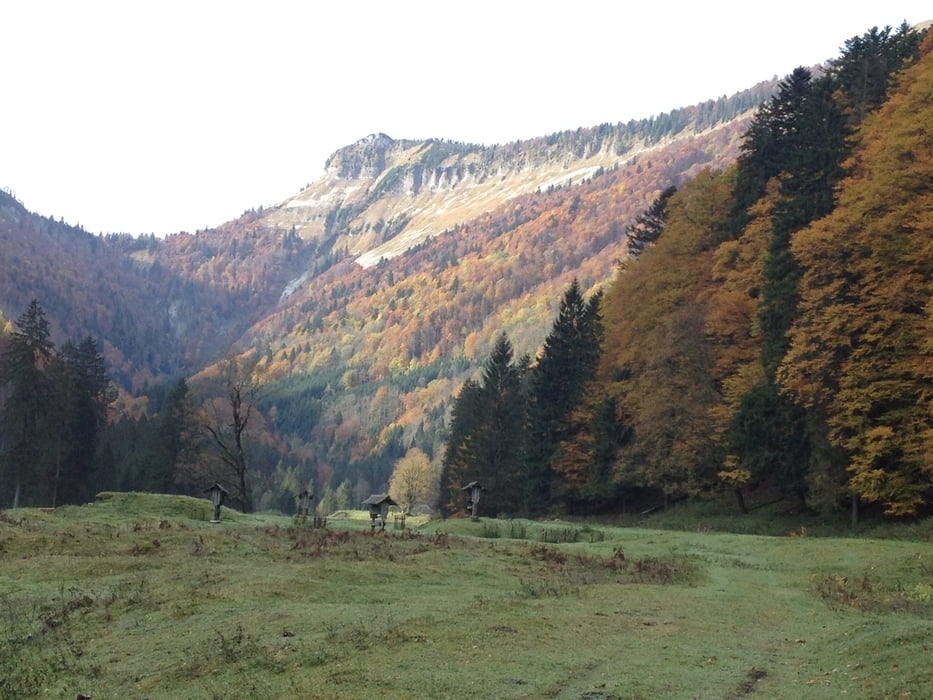
Gute Trainingseinheit, auf Schotter auf über 1200hm (Start bei 525 hm), leider kein Trail. Kurze Stopps sind schon wegen der schönen Aussicht und der vielen Wasserfälle Pflicht!
Viel Spaß!
Galeria trasy
Mapa trasy i profil wysokości
Minimum height 518 m
Maximum height 1217 m
Komentarze

Salzburg > B158
GPS tracks
Trackpoints-
GPX / Garmin Map Source (gpx) download
-
TCX / Garmin Training Center® (tcx) download
-
CRS / Garmin Training Center® (crs) download
-
Google Earth (kml) download
-
G7ToWin (g7t) download
-
TTQV (trk) download
-
Overlay (ovl) download
-
Fugawi (txt) download
-
Kompass (DAV) Track (tk) download
-
Karta trasy (pdf) download
-
Original file of the author (gpx) download
Add to my favorites
Remove from my favorites
Edit tags
Open track
My score
Rate


