


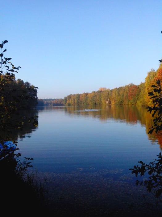
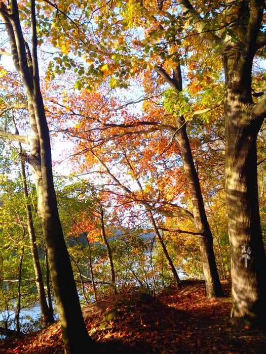
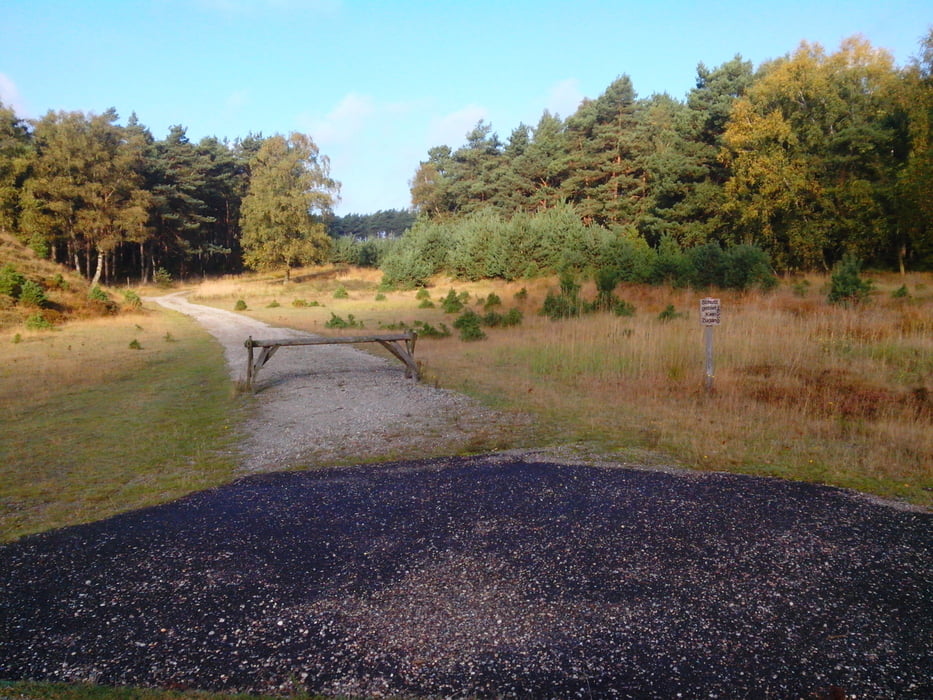
vom Parkplatz aus ein Stück die Schwalm entlang auf der Strecke des legendären Mühlenlaufs, diesmal aber am Venekotensee ganz vorbei und den Radschildern Route B folgen. Dann durch die Drehtür ins Depot und dort den Schildern nach Brüggen folgen. Bis kurz vor Ende der Tour, dann den Rest über kleine Strassen und Wege bis zum Parkplatz. Alles auf gut befestsigten Wegen, zum Teil am Zaun des ehemaligen Militärgeländes etwas sandig.
Galeria trasy
Mapa trasy i profil wysokości
Minimum height -112 m
Maximum height 258 m
More about the tour author
|
|
Graf_Geo |
Komentarze
großer Parkplatz direkt bei der Burg in Brüggen. Vorsicht bei der Nutzung von einsamen Waldparkplätzen in der Nähe der Grenze, mir ist da schon die Autoscheibe eingeschlagen worden!
GPS tracks
Trackpoints-
GPX / Garmin Map Source (gpx) download
-
TCX / Garmin Training Center® (tcx) download
-
CRS / Garmin Training Center® (crs) download
-
Google Earth (kml) download
-
G7ToWin (g7t) download
-
TTQV (trk) download
-
Overlay (ovl) download
-
Fugawi (txt) download
-
Kompass (DAV) Track (tk) download
-
Karta trasy (pdf) download
-
Original file of the author (gpx) download
More about the tour author
|
|
Graf_Geo |
Add to my favorites
Remove from my favorites
Edit tags
Open track
My score
Rate
Höhenlinien