


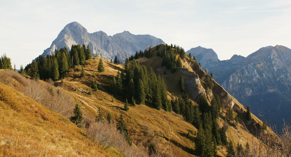
Die eher leichte Wanderung auf der Treffneralm zum Spielkogel, Anhartskogel und Wolfsbacherturm ist wegen der geringen maximalen Höhe von 1.780m auch im Spätherbst noch lange schneefrei begehbar. Gegen Ende der Tour gibt es auf der Mödlingerhütte noch eine sehr gute Einkehrmöglichkeit. Auch wegen der Aussicht auf die Berge im Nationalpark Gesäuse, Grimming und Dachstein ist diese Tour sehr empfehlenswert.
Galeria trasy

Mapa trasy i profil wysokości
Minimum height 1361 m
Maximum height 1741 m
More about the tour author
|
|
Trek1400d |
Komentarze

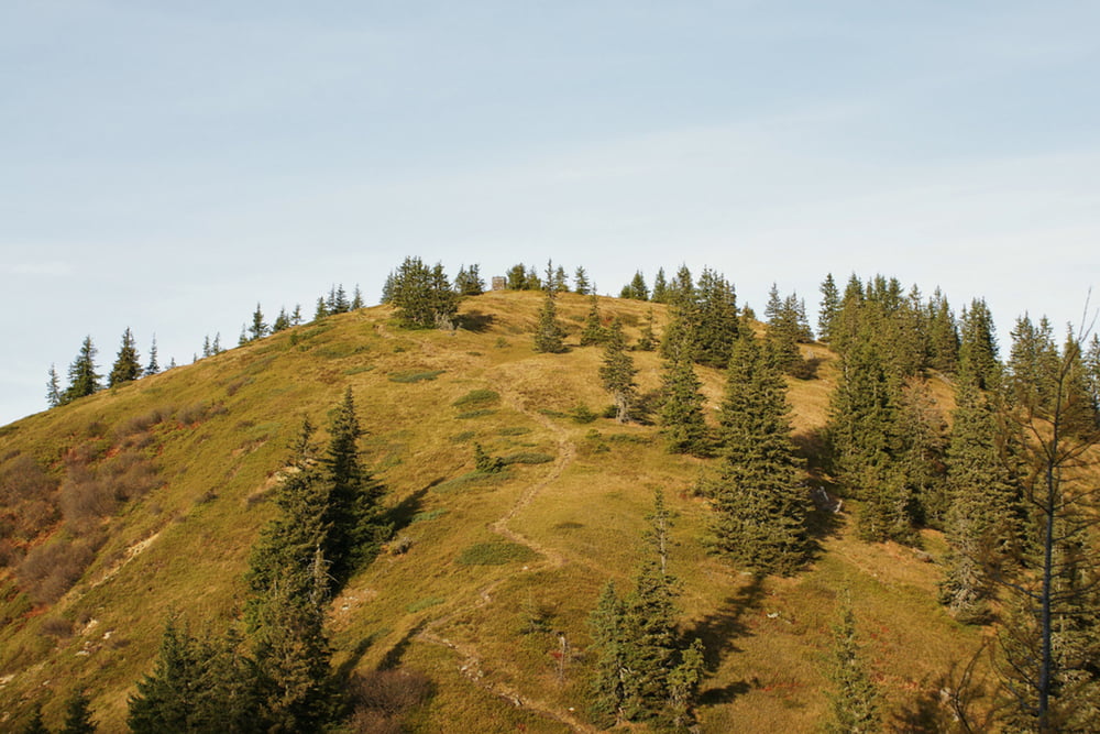
Den Parkplatz auf 1.360m erreichst du von Gaishorn aus auf der 6 Kilometer langen Mautstraße (rote Linie in der Google Map). Schon nach 900 Metern erreichen wir die Treffneralm mit einem traumhaften Blick zur Mödlingerhütte und dem Admonter Reichenstein im Hintergrund.
GPS tracks
Trackpoints-
GPX / Garmin Map Source (gpx) download
-
TCX / Garmin Training Center® (tcx) download
-
CRS / Garmin Training Center® (crs) download
-
Google Earth (kml) download
-
G7ToWin (g7t) download
-
TTQV (trk) download
-
Overlay (ovl) download
-
Fugawi (txt) download
-
Kompass (DAV) Track (tk) download
-
Karta trasy (pdf) download
-
Original file of the author (gpx) download
More about the tour author
|
|
Trek1400d |
Add to my favorites
Remove from my favorites
Edit tags
Open track
My score
Rate