


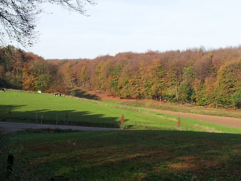
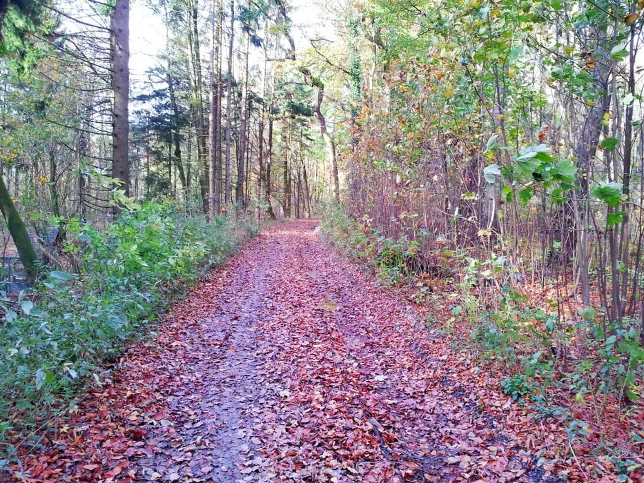
Diese Tour startet am Parkplatz des Jugendheims in Ascheloh. Gegen den Uhrzeigersinn geht es der Strasse hinunter nach Werther. Scharf links dem Eggeweg hinauf. Erst am Waldesrand, später im schönen herbstlichen Wald in Richtung Theenhausen. Relativ flach in Richtung Borgholzhausen.
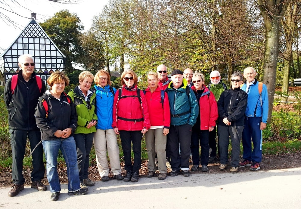
Der Spiekerhof in Wichtlinghausen bietet sich als Pause und Fotomotiv an. Steil geht es hoch in Richtung Hermannsweg. Du bleibst aber auf halber Höhe, oberhalb des Golfplatzes. Immer wieder schöne Aussichten mit Blick in das Ravensberger Hügelland verlocken zum Halt.
Nach dem Golfplatz, auf dem Hermannsweg, erreichst Du den Ausgangspunkt.
Galeria trasy
Mapa trasy i profil wysokości
Minimum height 115 m
Maximum height 230 m
More about the tour author
|
|
radrolle48 |
Komentarze

GPS tracks
Trackpoints-
GPX / Garmin Map Source (gpx) download
-
TCX / Garmin Training Center® (tcx) download
-
CRS / Garmin Training Center® (crs) download
-
Google Earth (kml) download
-
G7ToWin (g7t) download
-
TTQV (trk) download
-
Overlay (ovl) download
-
Fugawi (txt) download
-
Kompass (DAV) Track (tk) download
-
Karta trasy (pdf) download
-
Original file of the author (gpx) download
More about the tour author
|
|
radrolle48 |
Add to my favorites
Remove from my favorites
Edit tags
Open track
My score
Rate