


Abwechslungsreiche Rundwanderung bei Waldheim.
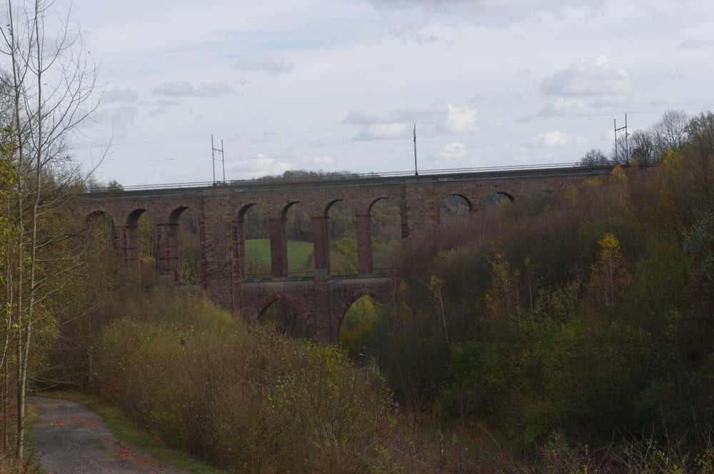
Das erste Ziel war die Eisenbahnbrücke (Diedenhainer Viadukt) über das Tal. Die Brücke macht einen imposanten Eindruck wenn sie auch nicht an die großen Bahnbrücken bei Plauen nicht ganz herankommt.
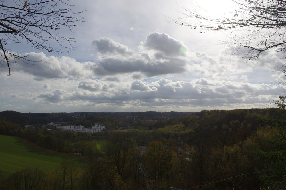
Der weitere Weg verläuft paralell zur Bahn nach Norden. Immer wieder weitet sich der Blick über das Land und danach folgt ein kleiner Abstieg in ein Tälchen.
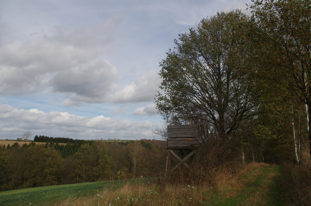
Am Wendepunkt folgte ich dann einem Feldweg der mich zuerst ansteigend und dann flach nach Diedeshain brachte. Hier folgte ich der Straße bergab um dann in der Linkskurve geradeaus einen wunderschönen Pfad in das Tal nahm.
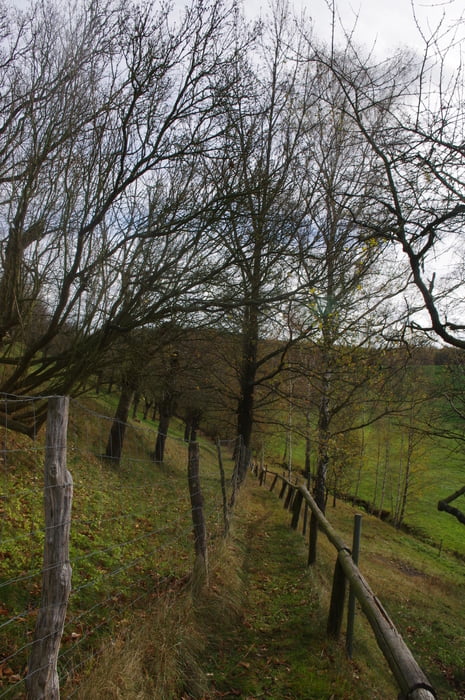
Auf einer Wiese ereichte ich den gegenüberliegenden Wald und dann folgte ich auf einem Forstweg der Waldstraße bis zum Ausgangspunkt.
Kurz vor Schluss konnte ich noch einen tollen Blick auf die Brücke werfen.
Further information at
https://de.wikipedia.org/wiki/WaldheimGaleria trasy
Mapa trasy i profil wysokości
Minimum height 173 m
Maximum height 255 m
More about the tour author
|
|
Pheinz |
Komentarze

Auf dem Parkplatz am Diedenhainer Weg geht es los.
GPS tracks
Trackpoints-
GPX / Garmin Map Source (gpx) download
-
TCX / Garmin Training Center® (tcx) download
-
CRS / Garmin Training Center® (crs) download
-
Google Earth (kml) download
-
G7ToWin (g7t) download
-
TTQV (trk) download
-
Overlay (ovl) download
-
Fugawi (txt) download
-
Kompass (DAV) Track (tk) download
-
Karta trasy (pdf) download
-
Original file of the author (gpx) download
More about the tour author
|
|
Pheinz |
Add to my favorites
Remove from my favorites
Edit tags
Open track
My score
Rate