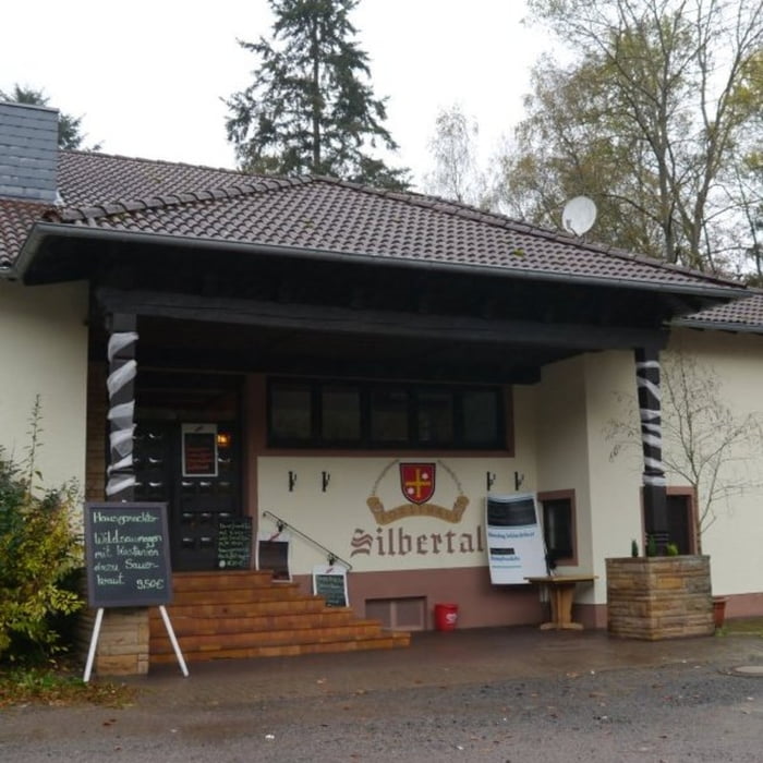
Startpunkt der Tour ist der Parkplatz beim Forsthaus Silbertal. Auf schönen Pfaden und Waldwegen führt die Strecke um den Hermannkopf. Zu Beginn steigt der Weg auf einer Entfernung von zwei Kilometern zunächst stark an, nach zwei weiteren, ebenen Kilometern fällt jedoch wieder ab. Der Rückweg zum Forsthaus ist ein wenig hügelig – kleine Anstiege und kleine Abstiege wechseln sich ab.
Galeria trasy
Mapa trasy i profil wysokości
Minimum height 255 m
Maximum height 518 m
Komentarze

GPS tracks
Trackpoints-
GPX / Garmin Map Source (gpx) download
-
TCX / Garmin Training Center® (tcx) download
-
CRS / Garmin Training Center® (crs) download
-
Google Earth (kml) download
-
G7ToWin (g7t) download
-
TTQV (trk) download
-
Overlay (ovl) download
-
Fugawi (txt) download
-
Kompass (DAV) Track (tk) download
-
Karta trasy (pdf) download
-
Original file of the author (gpx) download
Add to my favorites
Remove from my favorites
Edit tags
Open track
My score
Rate


