


Wanderung am Rande der Hohen Mark.
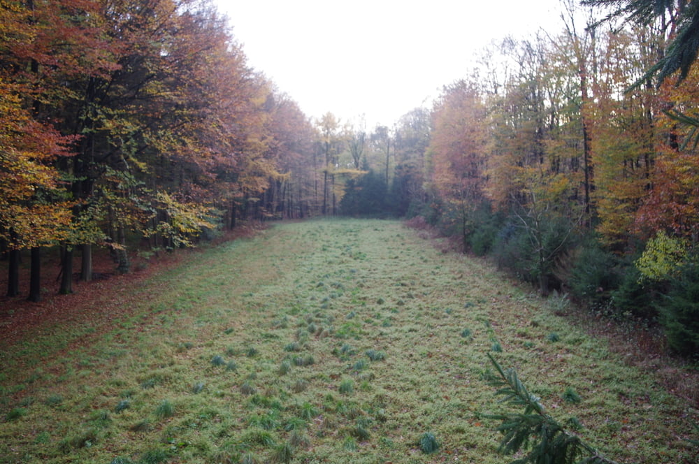
Den Parkplatz an der Einmündung der Holtwicker Straße in die Granatstraße über diese verlassen und auf einem Waldweg bis zu einer Einmündung gehen. Der schmale Pfad zweigt nach NordWest ab und führt durch den schönen Wald.
Um einen Jägerstand zu besuchen verließ ich den Weg nach Norden um nach dem Jägerstand wiedernach SüdWest abzubiegen.
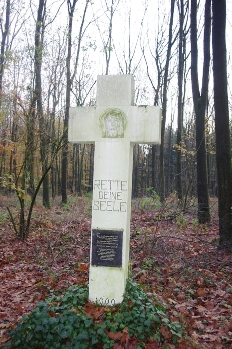
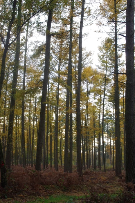
Ich erreichte am Napoleonsweg ein Missionskreuz mit Infomaterial. Nach ca. 200m auf dem Napoleonsweg bog ich nach Links in eine lange gerade Waldallee ein an deren Ränder einige Edelkastanienbäume wachsen.
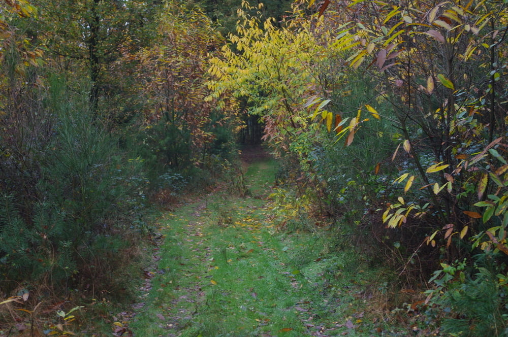
Ich bog von dem Bornweg nach links ab und folgte einem schmaleren weg nach NordOst um die Granatstraße zu queren und über ein freies Feldstück und ein wenig Wald zum Ausgangspunkt zurückzukehren.
Further information at
https://de.wikipedia.org/wiki/Holtwick_(Haltern)Galeria trasy
Mapa trasy i profil wysokości
Minimum height 53 m
Maximum height 120 m
More about the tour author
|
|
Pheinz |
Komentarze

Wanderparkplatz an der Einmündung der Holtwicker Straße in die Granatstraße.
GPS tracks
Trackpoints-
GPX / Garmin Map Source (gpx) download
-
TCX / Garmin Training Center® (tcx) download
-
CRS / Garmin Training Center® (crs) download
-
Google Earth (kml) download
-
G7ToWin (g7t) download
-
TTQV (trk) download
-
Overlay (ovl) download
-
Fugawi (txt) download
-
Kompass (DAV) Track (tk) download
-
Karta trasy (pdf) download
-
Original file of the author (gpx) download
More about the tour author
|
|
Pheinz |
Add to my favorites
Remove from my favorites
Edit tags
Open track
My score
Rate