


Ptompatschen
Passo Gardena-P.Sella-Friedrich August Weg-Plattkofelhütte-
P.Duron-Tierser Alpl-Mahlknechthütte-Compatsch-Seis-
Völser Weiher-Völs-Kardein-Bozen-Eppan
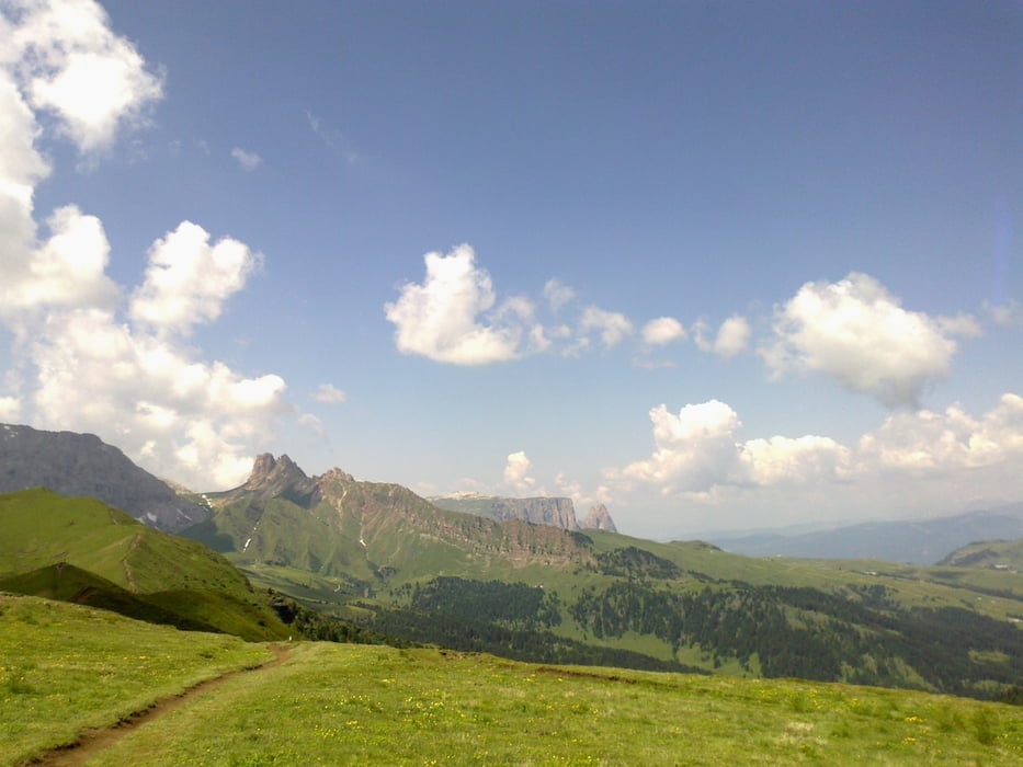
Sehr unterschiedliche, markante Streckenabschnitte. Friedrich August Weg ab Sella: Fahrverbot!
Wäre großteils fahrbar, wenn sich nicht unendliche Wanderkarawanen durchwälzen würden.
Ab Plattkofelhütte freiere Fahrt. Hinauf zum Tierser Alpl 150hm Schiebung. Super Kaiserschmarren!
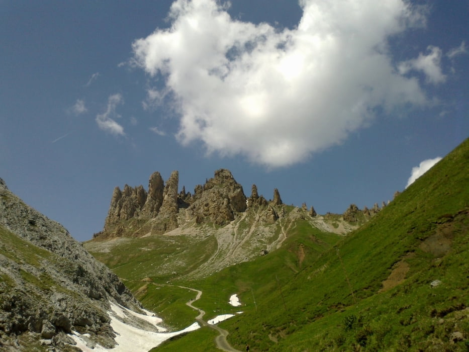
Zurück über Mahlknechthütte, Schlern umfahren! Der Kellner hat mir von der Hütte aus das Wahnsinnstragestück gezeigt: ich bin nicht schwindelfrei!
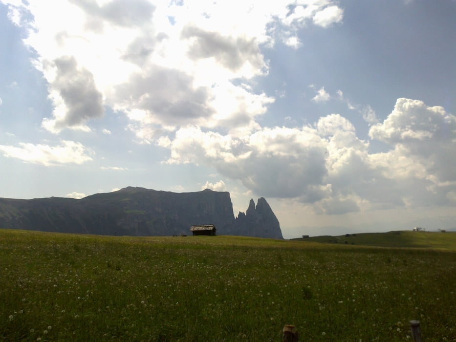
Abfahrt nach Seis auf der Straße, Wegerl zum Völser Weiher sehr hübsch. Dann auf Radweg bis und durch Bozen. Eppaner Hof ist eine noble Bleibe.
Galeria trasy

Mapa trasy i profil wysokości
Minimum height 261 m
Maximum height 2447 m
More about the tour author
|
|
mitter |
Komentarze

Start auf dem Grödner Joch.
GPS tracks
Trackpoints-
GPX / Garmin Map Source (gpx) download
-
TCX / Garmin Training Center® (tcx) download
-
CRS / Garmin Training Center® (crs) download
-
Google Earth (kml) download
-
G7ToWin (g7t) download
-
TTQV (trk) download
-
Overlay (ovl) download
-
Fugawi (txt) download
-
Kompass (DAV) Track (tk) download
-
Karta trasy (pdf) download
-
Original file of the author (gpx) download
More about the tour author
|
|
mitter |
Add to my favorites
Remove from my favorites
Edit tags
Open track
My score
Rate