


Stelvio
Trafoi-Stilfser Joch-Bocchetta alla Forcola-Lago di Fraele-
Passo Alpisella-Livigno
Auffahrt auf der Passstraße zum Stilfser Joch (1200hm) weniger schlimm als erwartet.
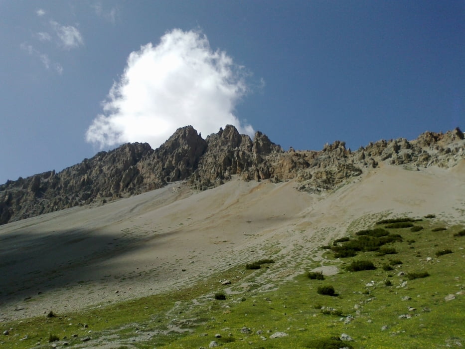
Dann der herrliche Weg, großteils fahrbar rüber zum Bocchetta d. F.
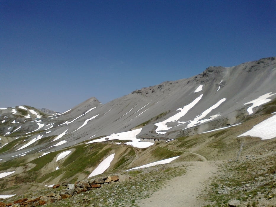
Hinunter zunächst sehr lose und grobschottrig, mache einen unsanften Abgang…
Beim ristoro senale mit großem Hunger eingekehrt - nur voll geworden… Den
Stauseen entlang und dann auf den schönen Alpisella Pass hinauf. Coole Abfahrt nach Livigno. Überraschend günstiges Quartier: NF 30€.
Galeria trasy


Mapa trasy i profil wysokości
Minimum height 1514 m
Maximum height 2766 m
More about the tour author
|
|
mitter |
Komentarze

Start in Trafoi (Heimat vom legendären Gustav Thöny).
GPS tracks
Trackpoints-
GPX / Garmin Map Source (gpx) download
-
TCX / Garmin Training Center® (tcx) download
-
CRS / Garmin Training Center® (crs) download
-
Google Earth (kml) download
-
G7ToWin (g7t) download
-
TTQV (trk) download
-
Overlay (ovl) download
-
Fugawi (txt) download
-
Kompass (DAV) Track (tk) download
-
Karta trasy (pdf) download
-
Original file of the author (gpx) download
More about the tour author
|
|
mitter |
Add to my favorites
Remove from my favorites
Edit tags
Open track
My score
Rate