Login

Zapomniałeś swój login?

Cookies have to be accepted!
Your browser's cookie functionality is disabled. Please enable this functionality.

Not a member yet?

Register now
Login

Available for registred users only

Log in to use this feature.

Zapomniałeś swój login?

Cookies have to be accepted!
Your browser's cookie functionality is disabled. Please enable this functionality.

Not a member yet?

Register now
Filter
Kategorie
Advanced filters
  • Długość (km)
  • Wysokość
Zapisz filtr Reset filter

TrackRank

QRCode

Technical data

Długość59,5 km Wysokość1240 m Way down328 m Czas trwania04:24 h:m Data19.11.2013
Oceny Author Krajobraz Czynnik zadowolenia Kondycja Technika

Statystyka

739 Widoki Oceny 28 Downloads / Pliki do pobrania Przeciętnie
Rate
  • Karta trasy
  • Dojazd
  • Downloads / Pliki do pobrania

Mach mal Pause

Chiavenna-Lago di Mezzole-Lago di Como-Rif. Mottafoiada

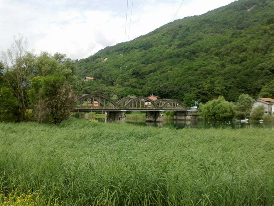
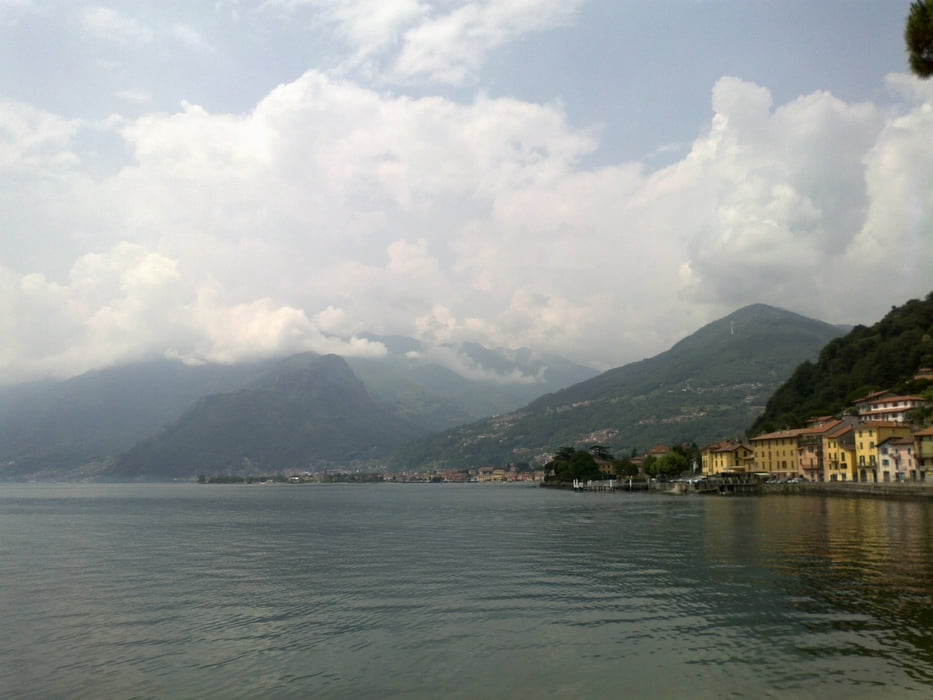
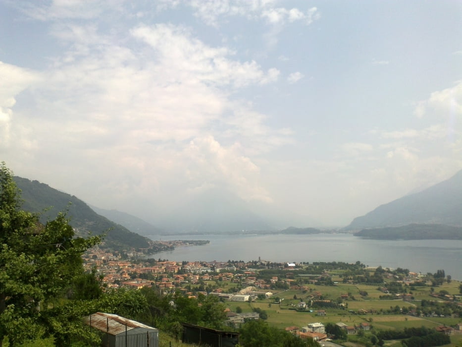
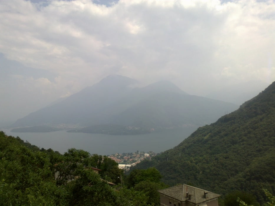
Reine Straßen-, Radwegetappe! Trotzdem nett. Steigung zum refugio sehr moderat
und zum Glück gibt es immer wieder Wasser zum Nachfüllen. Die Landschaft lässt an die
Kärntner Seenlandschaft erinnern, nur dass es hier insgesamt bei weitem nicht so gepflegt ist.


Galeria trasy

Mapa trasy i profil wysokości

  • Open Street Map
  • Google
Minimum height 199 m Maximum height 1305 m Widok szczegółowy

More about the tour author

mitter
Member since 2008

Send private message

Komentarze

Start bei Chiavenna.


GPS tracks

Trackpoints
  • GPX / Garmin Map Source (gpx) download
  • TCX / Garmin Training Center® (tcx) download
  • CRS / Garmin Training Center® (crs) download
  • Google Earth (kml) download
  • G7ToWin (g7t) download
  • TTQV (trk) download
  • Overlay (ovl) download
  • Fugawi (txt) download
  • Kompass (DAV) Track (tk) download
  • Karta trasy (pdf) download
  • Original file of the author (gpx) download

More about the tour author

mitter
Member since 2008

Send private message
Share track
Add to my favorites
Remove from my favorites
Edit tags
My score
Rate
Trasa: Chiavenna-Rif.Mottafoiada (13. Etappe Ost-West 2013)
Rodzaj: Rower górski (MTB)
Długość: 59,5 km
Evaluated on:
Czas trwania:
Day(s)
Hour(s)
Minute(s)
Ocena: Krajobraz Czynnik zadowolenia Kondycja Technika