Login

Zapomniałeś swój login?

Cookies have to be accepted!
Your browser's cookie functionality is disabled. Please enable this functionality.

Not a member yet?

Register now
Login

Available for registred users only

Log in to use this feature.

Zapomniałeś swój login?

Cookies have to be accepted!
Your browser's cookie functionality is disabled. Please enable this functionality.

Not a member yet?

Register now
Filter
Kategorie
Advanced filters
  • Długość (km)
  • Wysokość
Zapisz filtr Reset filter

TrackRank

QRCode

Technical data

Długość30,0 km Wysokość1655 m Way down1063 m Czas trwania05:54 h:m Data19.11.2013
Oceny Author Krajobraz Czynnik zadowolenia Kondycja Technika

Statystyka

1011 Widoki Oceny 58 Downloads / Pliki do pobrania Przeciętnie
Rate
  • Karta trasy
  • Dojazd
  • Downloads / Pliki do pobrania

Kappè Flizzz


Rif.Mottafoiada-Rif.Giovo-Bocchetta di Sommafiume-
bei Cima Verta-Vegna-Cavargna-Colonè-Rif.San Lucio-
Rif.Garzirola

Flotte Auffahrt zum Rif. Giovo. Auf dem singletrail zum B. Sommafiume erwischt mich ein kurzer heftiger Regen mit Hagel.
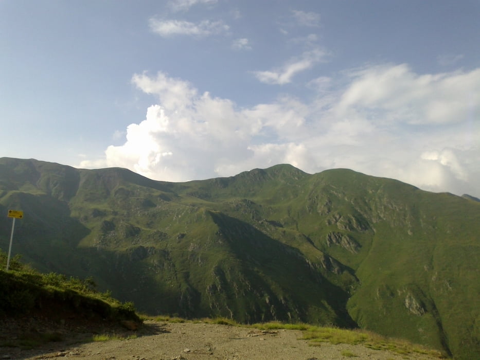
Ab dem Bocchetta schwere Schiebung Rg. Cima Verta, auch hinab noch einiges zu schieben.
Von cavargna weg eine harte Straßenalternative zum Rif S. Lucio genommen und
dann noch auf schönem Almweg hinauf zum Garzirola.


Galeria trasy

Mapa trasy i profil wysokości

  • Open Street Map
  • Google
Minimum height 1056 m Maximum height 2000 m Widok szczegółowy

More about the tour author

mitter
Member since 2008

Send private message

Komentarze

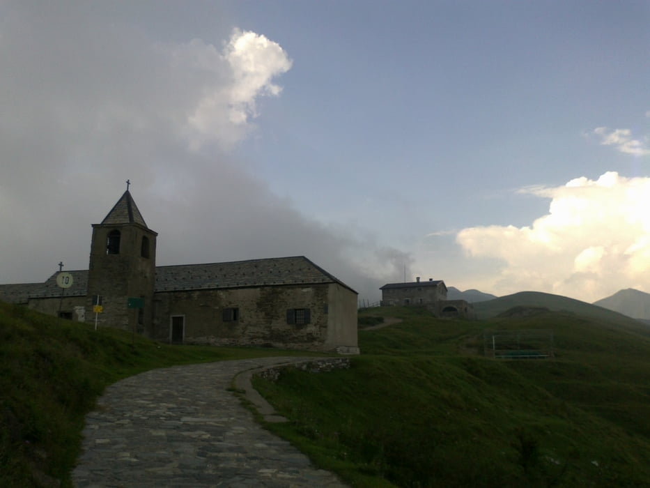
Start beim Rifugio Mottafoiada.


GPS tracks

Trackpoints
  • GPX / Garmin Map Source (gpx) download
  • TCX / Garmin Training Center® (tcx) download
  • CRS / Garmin Training Center® (crs) download
  • Google Earth (kml) download
  • G7ToWin (g7t) download
  • TTQV (trk) download
  • Overlay (ovl) download
  • Fugawi (txt) download
  • Kompass (DAV) Track (tk) download
  • Karta trasy (pdf) download
  • Original file of the author (gpx) download

More about the tour author

mitter
Member since 2008

Send private message
Share track
Add to my favorites
Remove from my favorites
Edit tags
My score
Rate
Trasa: Rif.Mottafoiada-Rif.Garzirola (14. Etappe Ost-West 2013)
Rodzaj: Rower górski (MTB)
Długość: 30,0 km
Evaluated on:
Czas trwania:
Day(s)
Hour(s)
Minute(s)
Ocena: Krajobraz Czynnik zadowolenia Kondycja Technika