


Auf der Passhöhe an der B317 machte ich mich im November an einem sonnigen Tag auf ein wenig das Wetter zu geniessen.
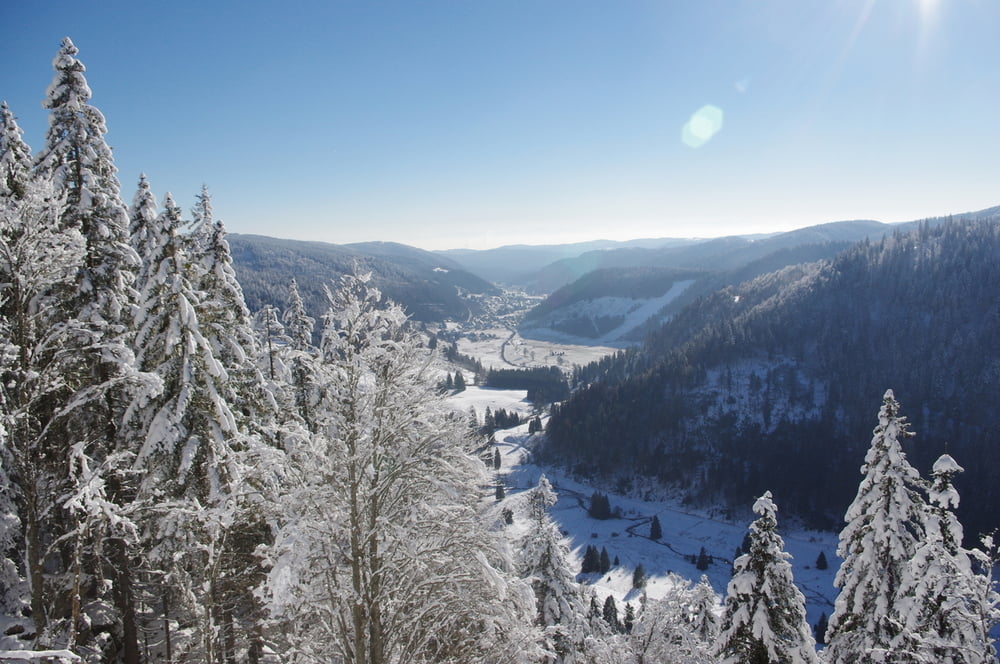
Ich wanderte, nachdem ich das Caritashaus passiert hatte, den Forstweg entlang und genoss die Aussicht in das Tal.
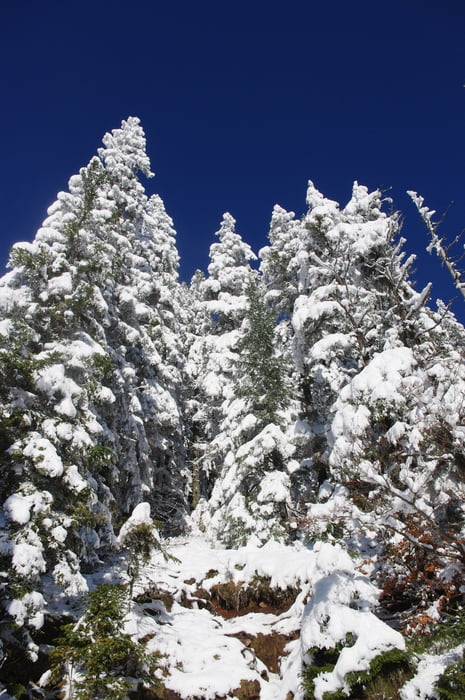
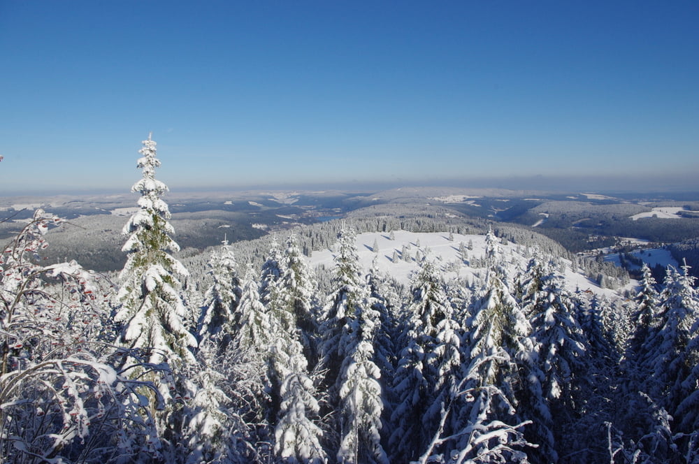
Bei einer Hütte führte eine Spur in den Winterwald hinein. Ich gelangte zu einem wunderschönen Aussichtspunkt und drehte eine Lassoschlaufe die mich auf meinen mir schon bekannten Weg zurückführte.
Further information at
https://de.wikipedia.org/wiki/Feldberg_(Schwarzwald)Galeria trasy
Mapa trasy i profil wysokości
Minimum height 1195 m
Maximum height 1292 m
More about the tour author
|
|
Pheinz |
Komentarze

Parkplatz bei der Caritas.
GPS tracks
Trackpoints-
GPX / Garmin Map Source (gpx) download
-
TCX / Garmin Training Center® (tcx) download
-
CRS / Garmin Training Center® (crs) download
-
Google Earth (kml) download
-
G7ToWin (g7t) download
-
TTQV (trk) download
-
Overlay (ovl) download
-
Fugawi (txt) download
-
Kompass (DAV) Track (tk) download
-
Karta trasy (pdf) download
-
Original file of the author (gpx) download
More about the tour author
|
|
Pheinz |
Add to my favorites
Remove from my favorites
Edit tags
Open track
My score
Rate