Login

Zapomniałeś swój login?

Cookies have to be accepted!
Your browser's cookie functionality is disabled. Please enable this functionality.

Not a member yet?

Register now
Login

Available for registred users only

Log in to use this feature.

Zapomniałeś swój login?

Cookies have to be accepted!
Your browser's cookie functionality is disabled. Please enable this functionality.

Not a member yet?

Register now
Filter
Kategorie
Advanced filters
  • Długość (km)
  • Wysokość
Zapisz filtr Reset filter

TrackRank

QRCode

Technical data

Długość10,8 km Wysokość236 m Way down229 m Czas trwania02:25 h:m Data01.12.2013
Oceny Author Krajobraz Czynnik zadowolenia Kondycja Technika

Statystyka

611 Widoki Oceny 15 Downloads / Pliki do pobrania Przeciętnie
Rate
  • Karta trasy
  • Dojazd
  • Downloads / Pliki do pobrania
Winterwanderung um Rohrbach in Oberösterreich

Galeria trasy

Mapa trasy i profil wysokości

  • Open Street Map
  • Google
Minimum height 518 m Maximum height 647 m Widok szczegółowy

More about the tour author

Hoar
Member since 2009

Send private message

Komentarze

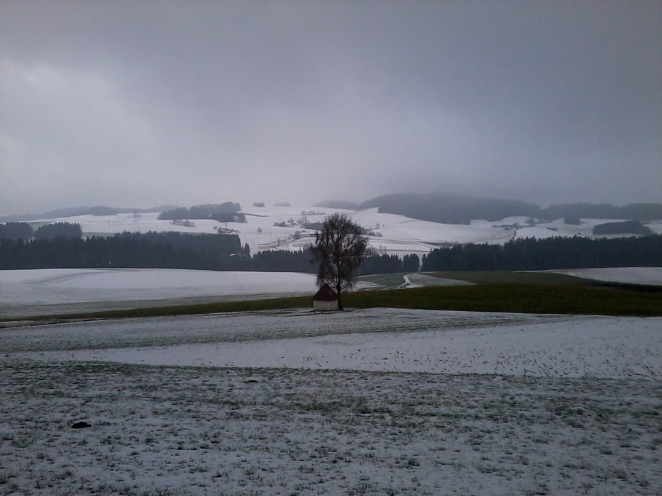
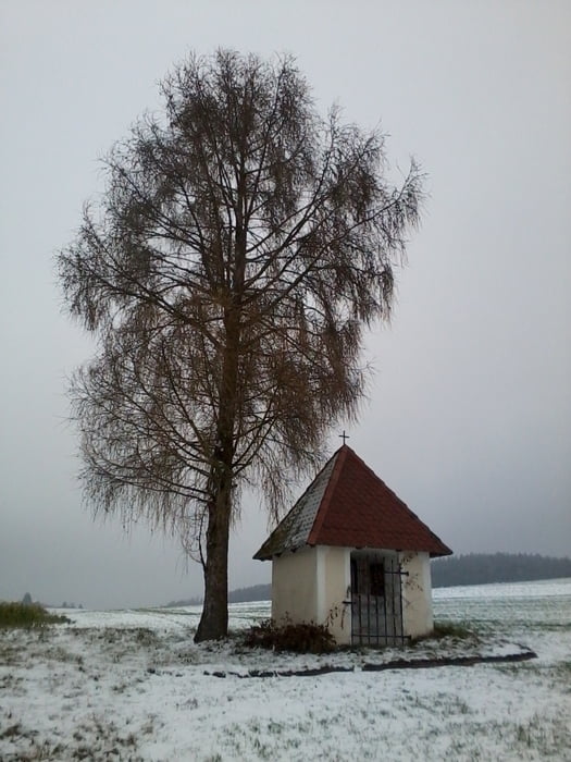
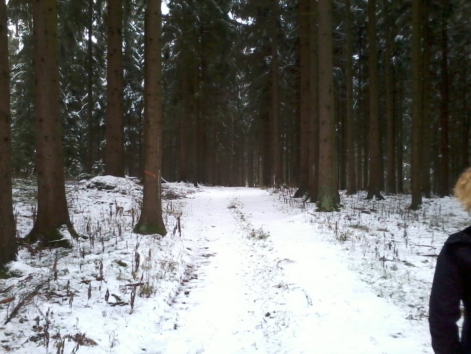
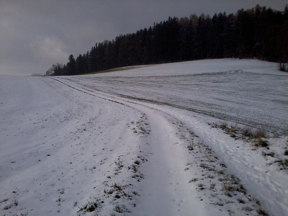
Beschauliche Wanderung um Rohrbach - großteils auf verschneiten Wald und Feldwegen - immer der Nase nach - nach dem Motto "lerne deine Heimat kennen".


GPS tracks

Trackpoints
  • GPX / Garmin Map Source (gpx) download
  • TCX / Garmin Training Center® (tcx) download
  • CRS / Garmin Training Center® (crs) download
  • Google Earth (kml) download
  • G7ToWin (g7t) download
  • TTQV (trk) download
  • Overlay (ovl) download
  • Fugawi (txt) download
  • Kompass (DAV) Track (tk) download
  • Karta trasy (pdf) download
  • Original file of the author (gpx) download

More about the tour author

Hoar
Member since 2009

Send private message
Share track
Add to my favorites
Remove from my favorites
Edit tags
My score
Rate
Trasa: Rohrbach rundherum auf Wanderwegen und quer durchs Feld
Rodzaj: Wędrówki
Długość: 10,8 km
Evaluated on:
Czas trwania:
Day(s)
Hour(s)
Minute(s)
Ocena: Krajobraz Czynnik zadowolenia Kondycja Technika