
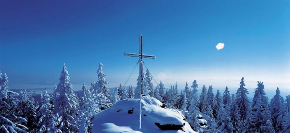

Vom Parkplatz in Grünwald (Loipenhaus) biegen Sie rechts in die Asphaltstraße ein. Nach ca. 200 m verlassen Sie die Straße und biegen rechts bergauf in den Weg ein. Nun geht es stetig ansteigend bis zum Bärenstein auf 1077 m.
Das Böhmische Massiv entstand vor ca. 300 Mio. Jahren. Der folgende Verwitterungsprozess ließ diese einzigartigen Granittürme entstehen, die auch Wollsäcke genannt werden.
Genießen Sie die Aussicht über den Moldaustausee in Tschechien. Nun geht es linkerhand bergab bis zu Ihrem Ausgangspunkt Grünwald.
Fordern Sie unsere Wegbeschreibungen hier an: info@boehmerwald.at!
Oder rufen Sie uns einfach an: Infotelefon +43 5 7890 100.
Further information at
http://www.boehmerwald.atMapa trasy i profil wysokości
Minimum height 863 m
Maximum height 1021 m
More about the tour author
|
|
aigen-schlaegl |
Komentarze

Anfahrt Aigen
Westautobahn - Linz - B 127
Über München - Landshut - A92 - Deggendorf - Passau A3 - Abfahrt
Nord über Wegscheid
Über Nürnberg - Regensburg A3 - Passau - Abfahrt Nord über Wegscheid
Westautobahn - Linz - B 127
Über München - Landshut - A92 - Deggendorf - Passau A3 - Abfahrt
Nord über Wegscheid
Über Nürnberg - Regensburg A3 - Passau - Abfahrt Nord über Wegscheid
GPS tracks
Trackpoints-
GPX / Garmin Map Source (gpx) download
-
TCX / Garmin Training Center® (tcx) download
-
CRS / Garmin Training Center® (crs) download
-
Google Earth (kml) download
-
G7ToWin (g7t) download
-
TTQV (trk) download
-
Overlay (ovl) download
-
Fugawi (txt) download
-
Kompass (DAV) Track (tk) download
-
Karta trasy (pdf) download
-
Original file of the author (gpx) download
More about the tour author
|
|
aigen-schlaegl |
Add to my favorites
Remove from my favorites
Edit tags
Open track
My score
Rate