Login

Zapomniałeś swój login?

Cookies have to be accepted!
Your browser's cookie functionality is disabled. Please enable this functionality.

Not a member yet?

Register now
Login

Available for registred users only

Log in to use this feature.

Zapomniałeś swój login?

Cookies have to be accepted!
Your browser's cookie functionality is disabled. Please enable this functionality.

Not a member yet?

Register now
Filter
Kategorie
Advanced filters
  • Długość (km)
  • Wysokość
Zapisz filtr Reset filter

TrackRank

QRCode

Technical data

Długość11,2 km Wysokość803 m Way down803 m Czas trwania04:00 h:m Data26.12.2007
Oceny Author Krajobraz Czynnik zadowolenia Kondycja Technika

Statystyka

1596 Widoki Oceny 557 Downloads / Pliki do pobrania Przeciętnie
Rate
  • Karta trasy
  • Dojazd
  • Downloads / Pliki do pobrania
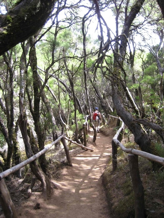
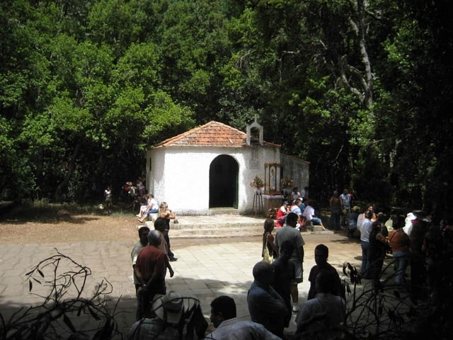
Vom Parkplatz Richtung Gipfel des Garajonay zum Alto des Contadeor. von dort auf dem Wanderweg PR LG3 in Richtung El Cedro. Bei der Ermita in Richtung Aula de la Naturaleza zur Carretera Dorsal. Dort über Kammweg bis zu den Roques und zurück zum Parkplatz

Galeria trasy

Mapa trasy i profil wysokości

  • Open Street Map
  • Google
Minimum height 916 m Maximum height 1441 m Widok szczegółowy

More about the tour author

msdetroit
Member since 2007

Send private message

Komentarze

Ausgangspunkt ist der Parkplatz Parajito an der Höhenstraße am Abzweig nach Alajero

GPS tracks

Trackpoints
  • GPX / Garmin Map Source (gpx) download
  • TCX / Garmin Training Center® (tcx) download
  • CRS / Garmin Training Center® (crs) download
  • Google Earth (kml) download
  • G7ToWin (g7t) download
  • TTQV (trk) download
  • Overlay (ovl) download
  • Fugawi (txt) download
  • Kompass (DAV) Track (tk) download
  • Karta trasy (pdf) download
  • Original file of the author (gpx) download

More about the tour author

msdetroit
Member since 2007

Send private message
Share track
Add to my favorites
Remove from my favorites
Edit tags
My score
Rate
Trasa: Bosuqe - Ermita N.S. de Lourdes - Bosque
Rodzaj: Wędrówki
Długość: 11,2 km
Evaluated on:
Czas trwania:
Day(s)
Hour(s)
Minute(s)
Ocena: Krajobraz Czynnik zadowolenia Kondycja Technika