
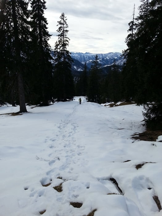

Von der Kirche in Spitzing in die Valepp (Schranke), vorbei am Albert-Link-Haus bis zur Waitzinger Alm. Von dort den Pfanngraben mäßig ansteigend immer am Wasserlauf entlang. Nach ca. 1 Stunde beginnt der Steig zum Rotwandhaus. Vorbei an Almen auf einen Sattel. Vor dort sieht man bereits das Rotwandhaus. Noch eine kurze Kurve, einen steilen Anstieg und das Haus ist erreicht.
Wir sind im Winter bei Schneelage aufgestiegen und haben ohne Pause 3,5 Stunden bis zum Rotwandhaus gebraucht.
Vom Haus auf dem Normalweg (Schlittenbahn) zurück ins Tal nach Spitzing-Ort.
Mapa trasy i profil wysokości
Minimum height 949 m
Maximum height 1780 m
More about the tour author
|
|
ultra |
Komentarze

Über Miesbach nach Spitzing und an der Kirche geparkt (4 €/Tag).
GPS tracks
Trackpoints-
GPX / Garmin Map Source (gpx) download
-
TCX / Garmin Training Center® (tcx) download
-
CRS / Garmin Training Center® (crs) download
-
Google Earth (kml) download
-
G7ToWin (g7t) download
-
TTQV (trk) download
-
Overlay (ovl) download
-
Fugawi (txt) download
-
Kompass (DAV) Track (tk) download
-
Karta trasy (pdf) download
-
Original file of the author (gpx) download
More about the tour author
|
|
ultra |
Add to my favorites
Remove from my favorites
Edit tags
Open track
My score
Rate