Login

Zapomniałeś swój login?

Cookies have to be accepted!
Your browser's cookie functionality is disabled. Please enable this functionality.

Not a member yet?

Register now
Login

Available for registred users only

Log in to use this feature.

Zapomniałeś swój login?

Cookies have to be accepted!
Your browser's cookie functionality is disabled. Please enable this functionality.

Not a member yet?

Register now
Filter
Kategorie
Advanced filters
  • Długość (km)
  • Wysokość
Zapisz filtr Reset filter

TrackRank

QRCode

Technical data

Długość7,6 km Wysokość51 m Way down94 m Czas trwania01:30 h:m Data27.12.2013
Oceny Author Krajobraz Czynnik zadowolenia Kondycja Technika

Statystyka

243 Widoki Oceny 7 Downloads / Pliki do pobrania Przeciętnie
Rate
  • Karta trasy
  • Dojazd
  • Downloads / Pliki do pobrania

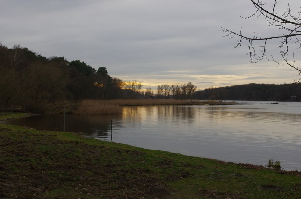
Wenn alle Anderen mit Hochdruck die Weihnachtsstimmung beschwören oder hektisch alles perfekt machen wollen zieht es uns raus in den Wald. Himmlischer Frieden und keine Menschenseele. Das war wahrer Frieden.

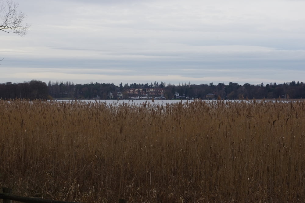
Wir wanderten am Ufer der Havel vom Löwen bis zur Fährstelle der Pfaueninsel und zurück.

Wunderbar. Ich glaube so wenig Leute habe ich hier noch nie angetroffen.


Further information at

https://de.wikipedia.org/wiki/Heckeshorn

Galeria trasy

Mapa trasy i profil wysokości

  • Open Street Map
  • Google
Minimum height 15 m Maximum height 61 m Widok szczegółowy

More about the tour author

Pheinz
Member since 2009

Send private message

Komentarze

Auf dem Parkplatz Am Heckeshorn geht es los.

GPS tracks

Trackpoints
  • GPX / Garmin Map Source (gpx) download
  • TCX / Garmin Training Center® (tcx) download
  • CRS / Garmin Training Center® (crs) download
  • Google Earth (kml) download
  • G7ToWin (g7t) download
  • TTQV (trk) download
  • Overlay (ovl) download
  • Fugawi (txt) download
  • Kompass (DAV) Track (tk) download
  • Karta trasy (pdf) download
  • Original file of the author (gpx) download

More about the tour author

Pheinz
Member since 2009

Send private message
Share track
Add to my favorites
Remove from my favorites
Edit tags
My score
Rate
Trasa: Heiligabend an der Havel
Rodzaj: Wędrówki
Długość: 7,6 km
Evaluated on:
Czas trwania:
Day(s)
Hour(s)
Minute(s)
Ocena: Krajobraz Czynnik zadowolenia Kondycja Technika