


Wanderung von Rohrbach in Oberösterreich nach Haslach an der Mühl.
Die Wanderung verläuft großteils auf Wald und Wiesenwegen aber auch querfeldein. Eine gute Weile bewegen wir uns auch auf der alten Haslacherstraße die früher die Verbindung zwischen Rohrbach und Haslach darstellte.
Interessantes am Weg:
Gasthaus Mosthütte
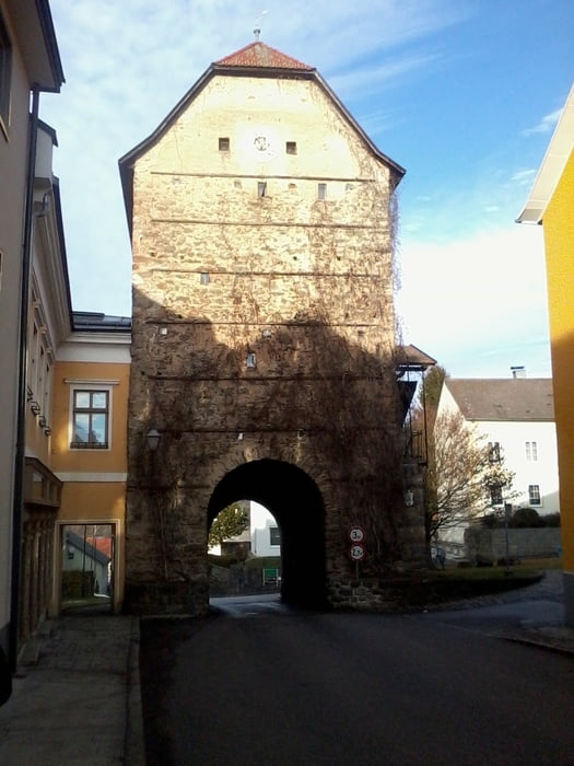
versteckte Gassen in Haslach an der Mühl
ein altertümlicher Apparat zur Leinenglättung fast hausgroß
der Schilift Bründelberg bei Haslach
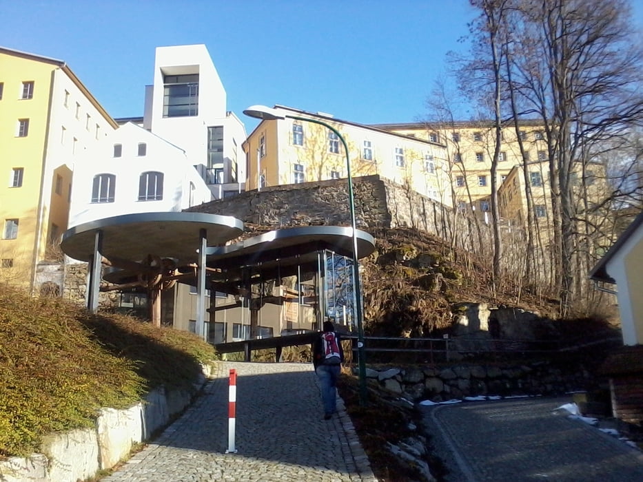
Haslach an sich selbst - immer eine "Reise" wert
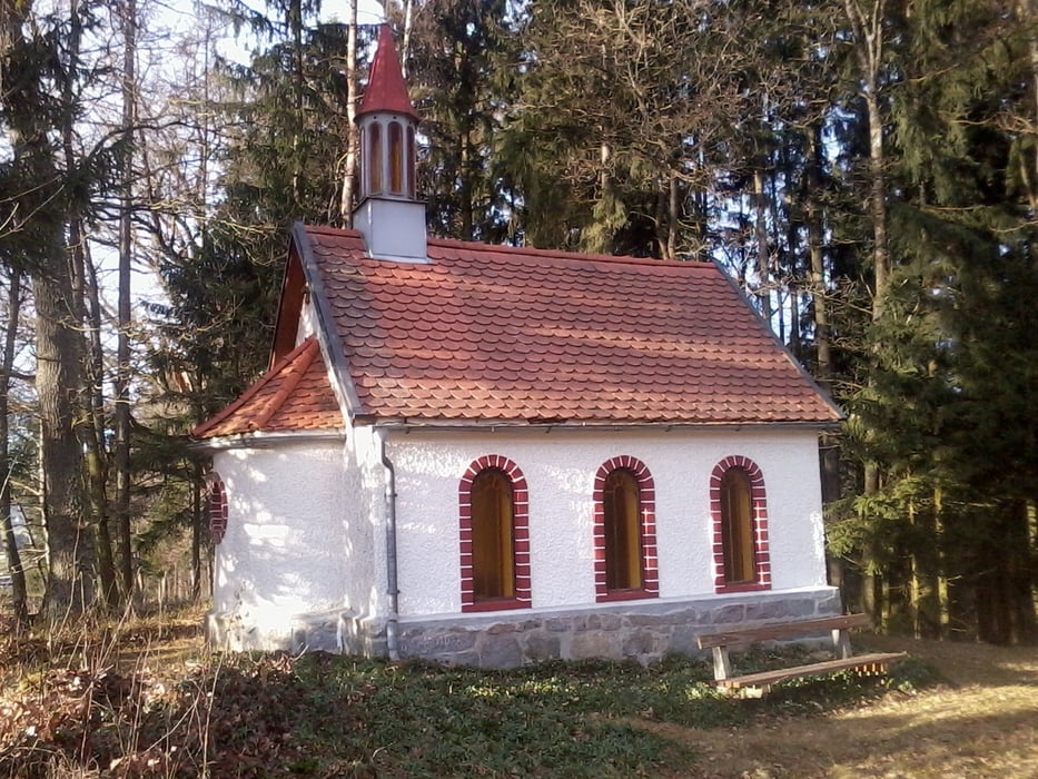
die Heimatvertriebenenkapelle Nähe Felberau
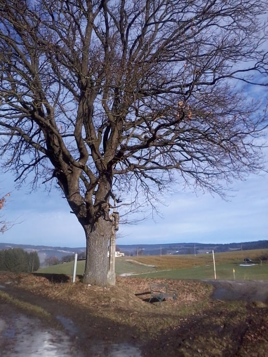
und vieles an Kleinod entlang der Route
Galeria trasy
Mapa trasy i profil wysokości
Minimum height 494 m
Maximum height 650 m
More about the tour author
|
|
Hoar |
Komentarze

Start und Ziel ist in Rohrbach in Oberösterreich
GPS tracks
Trackpoints-
GPX / Garmin Map Source (gpx) download
-
TCX / Garmin Training Center® (tcx) download
-
CRS / Garmin Training Center® (crs) download
-
Google Earth (kml) download
-
G7ToWin (g7t) download
-
TTQV (trk) download
-
Overlay (ovl) download
-
Fugawi (txt) download
-
Kompass (DAV) Track (tk) download
-
Karta trasy (pdf) download
-
Original file of the author (gpx) download
More about the tour author
|
|
Hoar |
Add to my favorites
Remove from my favorites
Edit tags
Open track
My score
Rate