


Die Wanderung ist etwas für kleine, große und ganz große Kinder!! ;-)
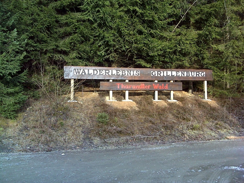
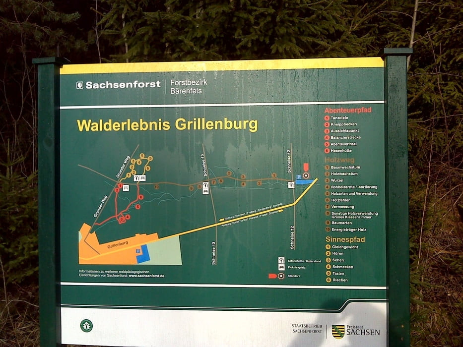
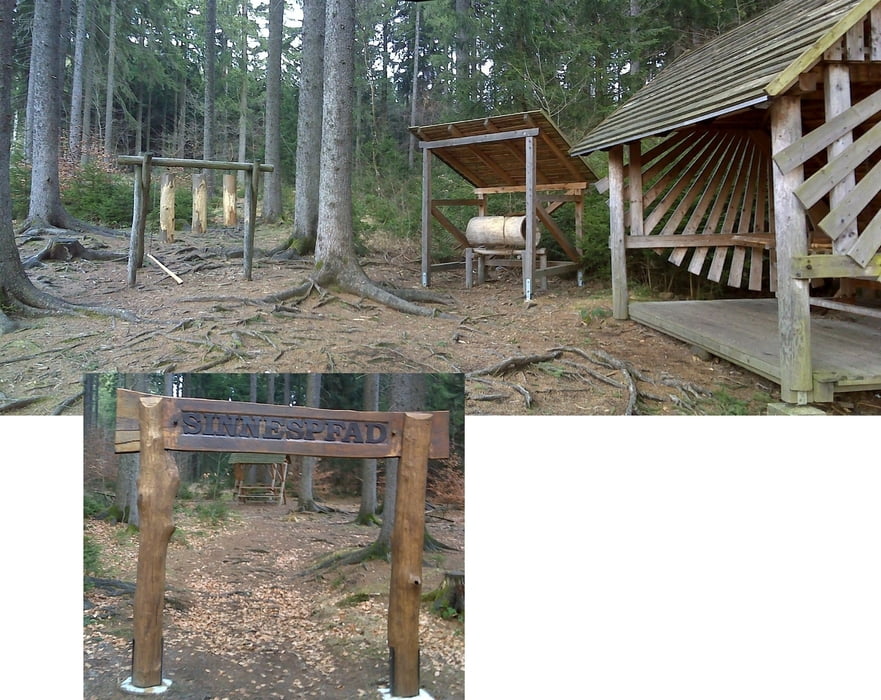
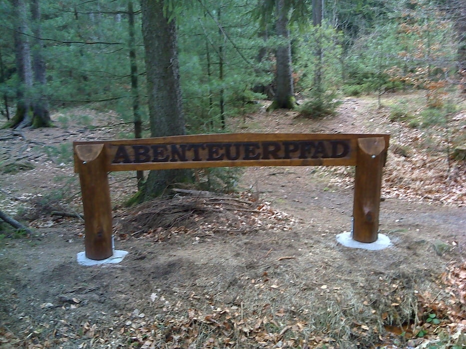
Wir starten nämlich auf dem Holzweg von Grillenburg im Tharandter Wald. Nehmen dann den Sinnespfad und schlagen einen großen Haken über Spechtshausen und den Kurort Hartha nach Grillenburg. Ehe wir wieder den Holzweg erreichen, nehmen wir noch die light - Variante des Abenteuerpfades.
Einkehren könnte man unterwegs im Kurort Hartha (Gasthaus Waldblick, Parkhotel Forsthaus) oder gegen Ende der Tour In Grillenburg (Imbiss am Gondelteich , Gaststätte zur Alten Schule, Gasthof Grillenburg, Waldhof, Imbiss am Badeteich….). Im Winter fällt einiges davon freilich ins Wasser …..
Am Einstieg zur Tour befindet sich ein kostenloser Wanderparkplatz, wobei „kostenlos“ alles andere als selbstverständlich ist in und um Grillenburg!!
Further information at
http://www.freiberg-service.de/Galeria trasy
Mapa trasy i profil wysokości
Minimum height 316 m
Maximum height 419 m
More about the tour author
|
|
Saxoniaradler |
Komentarze

GPS tracks
Trackpoints-
GPX / Garmin Map Source (gpx) download
-
TCX / Garmin Training Center® (tcx) download
-
CRS / Garmin Training Center® (crs) download
-
Google Earth (kml) download
-
G7ToWin (g7t) download
-
TTQV (trk) download
-
Overlay (ovl) download
-
Fugawi (txt) download
-
Kompass (DAV) Track (tk) download
-
Karta trasy (pdf) download
-
Original file of the author (gpx) download
More about the tour author
|
|
Saxoniaradler |
Add to my favorites
Remove from my favorites
Edit tags
Open track
My score
Rate