


Eine nette Wanderung von Oberböbingen über den Leisberg nach Mögglingen und auf der anderen Talseite der Rems zurück.
Ein Teil der Wanderung fand auf neuen Wegen der Flurbereininigung in Böbingen statt. Die wege waren schon eingeschottert und man holte sich nicht die dicken Lehmschuhe.
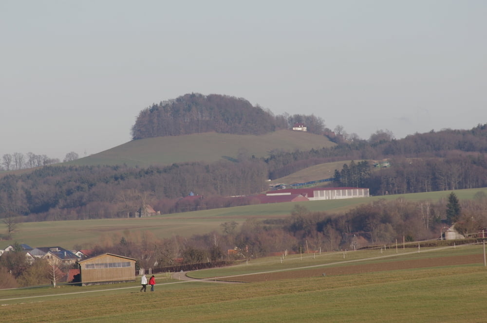
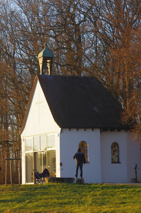
Die alte B29 (Böbinger Straße) von Mögglingen zurück nach Böbingen ist nicht empfehlenswert weil die Eineimischen hier ihre Fahrkunst austesten. Wir schwenkten deshalb nach Norden weg und besuchten die Kapelle und die Aussiedlerhöfe auf der Höhe.
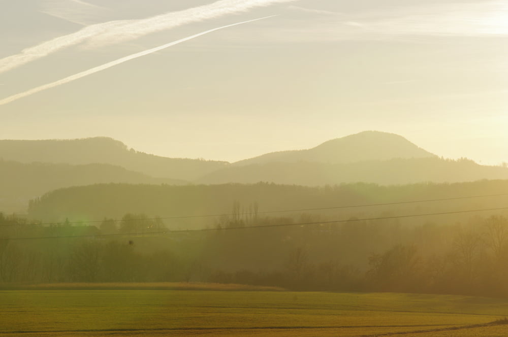
Wir hatten Glück mit dem Wetter und so war der Weg eine reine Freude.
Further information at
https://de.wikipedia.org/wiki/OstalbkreisGaleria trasy

Mapa trasy i profil wysokości
Minimum height 377 m
Maximum height 444 m
More about the tour author
|
|
Pheinz |
Komentarze

Einstieg an beliebiger Stelle.
GPS tracks
Trackpoints-
GPX / Garmin Map Source (gpx) download
-
TCX / Garmin Training Center® (tcx) download
-
CRS / Garmin Training Center® (crs) download
-
Google Earth (kml) download
-
G7ToWin (g7t) download
-
TTQV (trk) download
-
Overlay (ovl) download
-
Fugawi (txt) download
-
Kompass (DAV) Track (tk) download
-
Karta trasy (pdf) download
-
Original file of the author (gpx) download
More about the tour author
|
|
Pheinz |
Add to my favorites
Remove from my favorites
Edit tags
Open track
My score
Rate