Login

Zapomniałeś swój login?

Cookies have to be accepted!
Your browser's cookie functionality is disabled. Please enable this functionality.

Not a member yet?

Register now
Login

Available for registred users only

Log in to use this feature.

Zapomniałeś swój login?

Cookies have to be accepted!
Your browser's cookie functionality is disabled. Please enable this functionality.

Not a member yet?

Register now
Filter
Kategorie
Advanced filters
  • Długość (km)
  • Wysokość
Zapisz filtr Reset filter

TrackRank

QRCode

Technical data

Długość53,4 km Wysokość235 m Way down153 m Czas trwania03:25 h:m Data30.12.2007
Oceny Author Krajobraz Czynnik zadowolenia Kondycja Technika

Statystyka

228 Widoki Oceny 9 Downloads / Pliki do pobrania Przeciętnie
Rate
  • Karta trasy
  • Dojazd
  • Downloads / Pliki do pobrania
3.1.2007
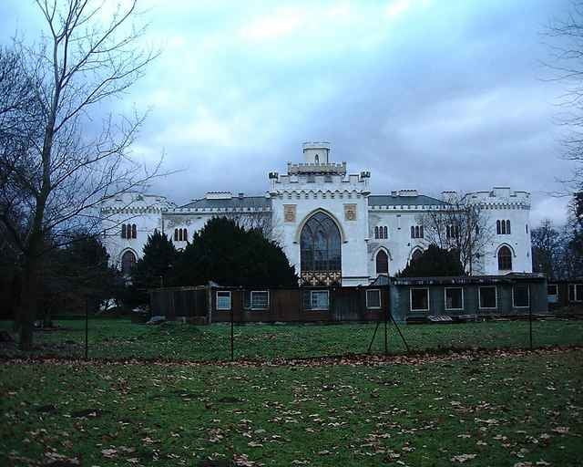
Prvý novoročný výjazd s kamarátmi.

Galeria trasy

Mapa trasy i profil wysokości

  • Open Street Map
  • Google
Minimum height 54 m Maximum height 219 m Widok szczegółowy

More about the tour author

tmax
Member since 2007

Send private message

Komentarze

Bratislava** - Petržalka** - Rusovce** - Čunovo* - Rusovce** - Petržalka** - Bratislava

*turistická značka alebo lesný chodník mimo cestu
**cyklotrasa
***cesta s premávkou, asfaltka

GPS tracks

Trackpoints
  • GPX / Garmin Map Source (gpx) download
  • TCX / Garmin Training Center® (tcx) download
  • CRS / Garmin Training Center® (crs) download
  • Google Earth (kml) download
  • G7ToWin (g7t) download
  • TTQV (trk) download
  • Overlay (ovl) download
  • Fugawi (txt) download
  • Kompass (DAV) Track (tk) download
  • Karta trasy (pdf) download
  • Original file of the author (g7t) download

More about the tour author

tmax
Member since 2007

Send private message
Share track
Add to my favorites
Remove from my favorites
Edit tags
My score
Rate
Trasa: 20070103_Čunovo
Rodzaj: Rower górski (MTB)
Długość: 53,4 km
Evaluated on:
Czas trwania:
Day(s)
Hour(s)
Minute(s)
Ocena: Krajobraz Czynnik zadowolenia Kondycja Technika