
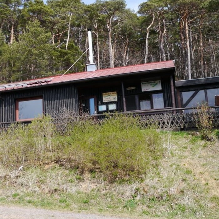

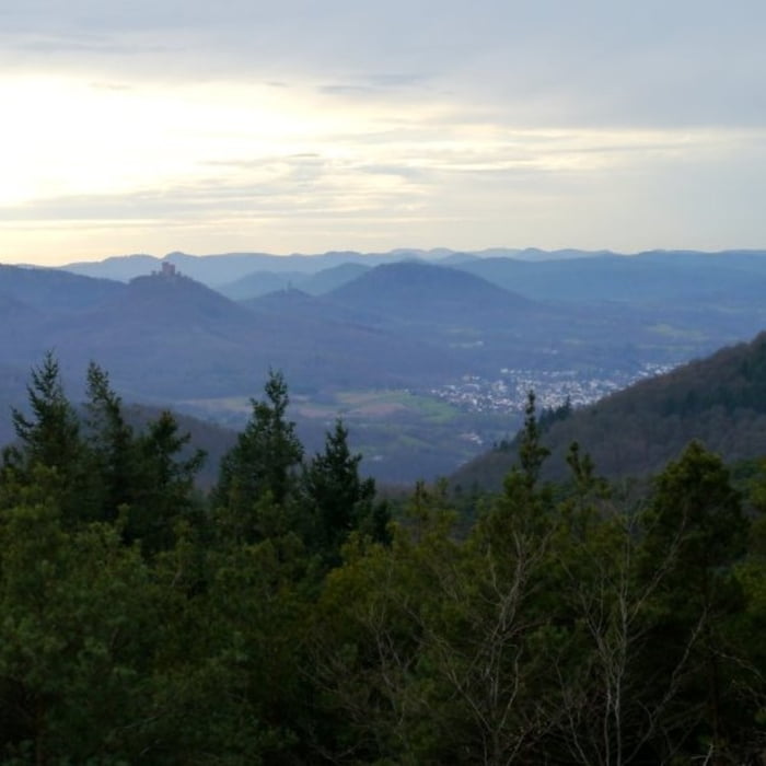
Startpunkt der Tour ist ein Parkplatz am Ortsrand von Gleisweiler. Die Tour führt zunächst durch Gleisweiler bevor es auf einem kleinen Pfad hoch zur Sankt Anna Kapelle geht – bei schönem Wetter hat man vor dort einen herrlichen Ausblick auf die Rheinebene. Von dort geht es noch ein weiteres Stück bergauf in Richtung Dreimärker und wieder zurück zum Lambertskopf. Anschließend führt die Route am Teufelsfeld und an einem Wetterkreuz vorbei – auch von dort hat man einen schönen Ausblick. Zur Triefelsblickhütte ist es von dort nicht mehr weit, dort kann man sich für den Abstieg stärken und dabei den Blick auf den Trifels genießen. Der Pfad nach Gleisweiler verläuft stetig bergab, im unteren Teil teilweise auf Serpentinen.
Galeria trasy


Mapa trasy i profil wysokości
Minimum height 273 m
Maximum height 584 m
More about the tour author

|
isg13 |
Komentarze

GPS tracks
Trackpoints-
GPX / Garmin Map Source (gpx) download
-
TCX / Garmin Training Center® (tcx) download
-
CRS / Garmin Training Center® (crs) download
-
Google Earth (kml) download
-
G7ToWin (g7t) download
-
TTQV (trk) download
-
Overlay (ovl) download
-
Fugawi (txt) download
-
Kompass (DAV) Track (tk) download
-
Karta trasy (pdf) download
-
Original file of the author (gpx) download
More about the tour author
|
|
isg13 |
Add to my favorites
Remove from my favorites
Edit tags
Open track
My score
Rate